C-MAP NA-C041 Cartridge Tn River Paducah KY-KNOXVILLE
$276.39 Original price was: $276.39.$249.00Current price is: $249.00.
C-MAP NA-C230 Gulf Of St. Lawrence
$276.39 Original price was: $276.39.$249.00Current price is: $249.00.
Fast delivery within 72 Hours
C-MAP NA-C045 Black Warrior & Lower Tom Bigbee River
$276.39 Original price was: $276.39.$249.00Current price is: $249.00.
Out of stock
SKU:
WT-CMANAC045CCARD
Category: C-MAP Max
“C-MAP NA-C045 nan navigation chart provides detailed coverage of Black Warrior and Lower Tombigbee Rivers. Perfect for outboard lower unit, this Furuno FP-Card offers accurate river maps and waterways information for safe and enjoyable navigation.”
Description
C-MAP NA-C045 Black Warrior & Lower Tom Bigbee River
The C-MAP NA-C045 Black Warrior & Lower Tom Bigbee River is a high-quality electronic chart that provides comprehensive and accurate navigation data for boaters, fishermen, and outdoor enthusiasts. This chart is part of C-MAP’s extensive range of marine charts, which are designed to help users navigate safely and efficiently.
The C-MAP NA-C045 Black Warrior & Lower Tom Bigbee River covers the Black Warrior River and Lower Tom Bigbee River, including the surrounding areas and waterways. With this chart, users can access a wealth of information, including detailed shoreline, depth contours, and underwater features. The C-MAP NA-C045 Black Warrior & Lower Tom Bigbee River is an essential tool for anyone who spends time on the water, whether for recreation or work.
By using the C-MAP NA-C045 Black Warrior & Lower Tom Bigbee River, users can enjoy a more confident and enjoyable boating experience. The chart provides a clear and detailed representation of the waterway, allowing users to plan their route, avoid hazards, and find the best fishing spots. The C-MAP NA-C045 Black Warrior & Lower Tom Bigbee River is compatible with a range of GPS devices and chart plotters, making it easy to integrate into your existing navigation system.
Why pick the C-MAP NA-C045 Black Warrior & Lower Tom Bigbee River:
The C-MAP NA-C045 Black Warrior & Lower Tom Bigbee River offers several unique benefits that set it apart from other marine charts. Firstly, its high-resolution data provides an unparalleled level of accuracy and detail. Secondly, the chart is regularly updated to ensure that users have access to the latest information. Finally, the C-MAP NA-C045 Black Warrior & Lower Tom Bigbee River is compatible with a range of devices, making it easy to use and integrate into your existing navigation system.
Where to use it:
The C-MAP NA-C045 Black Warrior & Lower Tom Bigbee River is ideal for boaters, fishermen, and outdoor enthusiasts who spend time on the Black Warrior River and Lower Tom Bigbee River. This chart is also useful for commercial operators, such as tugboats and fishing vessels, who need accurate and reliable navigation data to operate safely and efficiently.
Tips for maintenance:
To ensure that your C-MAP NA-C045 Black Warrior & Lower Tom Bigbee River chart remains accurate and up-to-date, it’s essential to regularly update your device with the latest data. Additionally, users should always follow safe navigation practices, such as using multiple sources of information and being aware of their surroundings. Finally, it’s recommended to store your device in a protective case when not in use to prevent damage.
In conclusion, the C-MAP NA-C045 Black Warrior & Lower Tom Bigbee River is an essential tool for anyone who spends time on the water. With its high-quality data, compatibility with a range of devices, and regular updates, this chart provides users with a confident and enjoyable boating experience. Whether you’re a recreational boater or a commercial operator, the C-MAP NA-C045 Black Warrior & Lower Tom Bigbee River is the perfect choice for navigating the Black Warrior River and Lower Tom Bigbee River.
Additional information
| Weight | 0.1 lbs |
|---|
Related Products
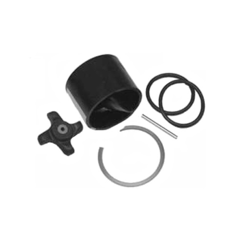
Airmar 33-493-01 Paddle Wheel Spares Kit For S800 ST800
SKU:
WT-AIR3349301
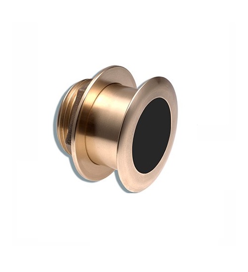
Airmar B164 1KW Bronze TH 0 Deg Tilt 8 Pin Garmin
SKU:
WT-AIRB16408G
Airmar B164 1KW Bronze TH 12D Tilted Element 10P Furuno
SKU:
WT-AIRB1641210F
Airmar B164 1KW Bronze TH 20D Tilted Element Lowrance
SKU:
WT-AIRB16420BL
Airmar B164 1KW Bronze TH 20D Tilted Element Raymarine
SKU:
WT-AIRB16420RAY
Airmar B175C-0-H 0d Tilt w/ Humminbird 14-Pin MM Cabl
SKU:
WT-AIRB175C0H14HB
Airmar B175C-0-H 0d Tilt With Garmin 8-Pin MM Cable
SKU:
WT-AIRB175C0H8G
Airmar B175C-0-H 0d Tilt With Navico 7-Pin MM Cable
SKU:
WT-AIRB175C0HBL
Airmar B175C-0-M 0d Tilt With No Connector MM Cable
SKU:
WT-AIRB175C0M0


