C-MAP NA-C603 Hawaiian Islands And Vicinity
$276.39 Original price was: $276.39.$249.00Current price is: $249.00.
C-MAP NA-C703 Cape Caution To Portland Canal
$276.39 Original price was: $276.39.$249.00Current price is: $249.00.
Fast delivery within 72 Hours
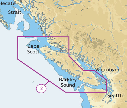
C-MAP NA-C702 Nanoose To Victoria To Cape Scott
$276.39 Original price was: $276.39.$249.00Current price is: $249.00.
Out of stock
SKU:
WT-CMANAC702CCARD
Category: C-MAP Max
“C-MAP NA-C702 is nan compatible, providing detailed marine charts for outboard lower unit navigation from Nanoose to Victoria to Cape Scott, ensuring safe and accurate travel.”
Description
C-MAP NA-C702 Nanoose To Victoria To Cape Scott
The C-MAP NA-C702 Nanoose To Victoria To Cape Scott is a navigational chart that provides comprehensive coverage of the coastal waters of British Columbia, Canada. This chart is designed for use on compatible chart plotters and features detailed cartography, including buoys, beacons, and other navigation aids. Additionally, it contains information on water depth, shoreline features, and other important data for safe and successful navigation.
With the C-MAP NA-C702 Nanoose To Victoria To Cape Scott, you’ll have access to a wealth of information to help you navigate the waters of British Columbia with confidence. This chart is particularly useful for sailors, fishermen, and other water enthusiasts who need to navigate the complex coastline of this region. The C-MAP NA-C702 Nanoose To Victoria To Cape Scott is a valuable tool for anyone who spends time on the water in this area.
In addition to its navigational features, the C-MAP NA-C702 Nanoose To Victoria To Cape Scott also provides information on local points of interest, including harbors, marinas, and other attractions. This makes it an excellent resource for those who want to explore the region’s many hidden coves and inlets. Whether you’re a seasoned sailor or just starting out, the C-MAP NA-C702 Nanoose To Victoria To Cape Scott is an essential tool for anyone who wants to navigate the waters of British Columbia with ease.
Why pick the C-MAP NA-C702 Nanoose To Victoria To Cape Scott:
- Provides comprehensive coverage of the coastal waters of British Columbia, Canada
- Features detailed cartography, including buoys, beacons, and other navigation aids
- Contains information on water depth, shoreline features, and other important data for safe and successful navigation
- Designed for use on compatible chart plotters
Where to use it:
The C-MAP NA-C702 Nanoose To Victoria To Cape Scott is ideal for use in a variety of applications, including:
- Sailing and yachting
- Fishing and commercial fishing
- Water sports and recreation
- Cruise and tour operations
Tips for maintenance:
To ensure that your C-MAP NA-C702 Nanoose To Victoria To Cape Scott remains accurate and up-to-date, be sure to:
- Regularly update your chart plotter with the latest software and data
- Store your chart plotter in a protective case when not in use
- Avoid exposing your chart plotter to extreme temperatures or moisture
- Consult the manufacturer’s instructions for proper use and maintenance
Additional information
| Weight | 0.1 lbs |
|---|
Related Products
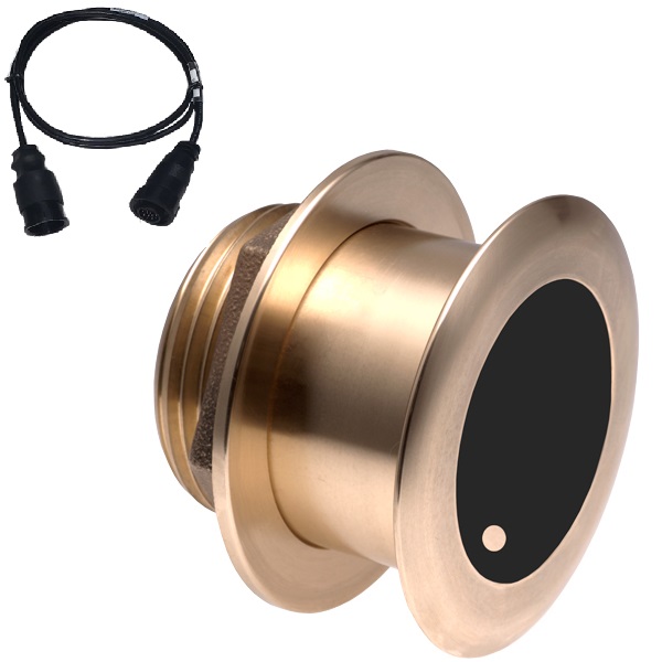
Airmar B164 1KW Bronze TH 12D Tilted Element 10P Furuno
SKU:
WT-AIRB1641210F
Airmar B164 1KW Bronze TH 20D Tilted Element Lowrance
SKU:
WT-AIRB16420BL
Airmar B164 1KW Bronze TH 20D Tilted Element Raymarine
SKU:
WT-AIRB16420RAY
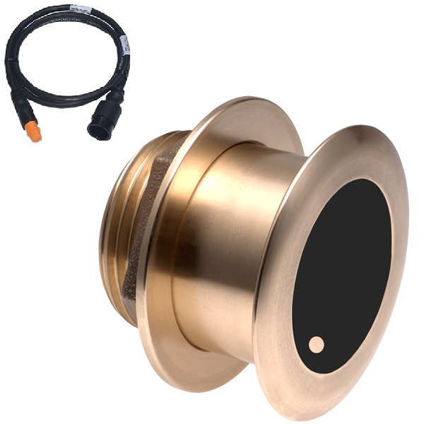
Airmar B175C-0-H 0d Tilt w/ Humminbird 14-Pin MM Cabl
SKU:
WT-AIRB175C0H14HB
Airmar B175C-0-H 0d Tilt With Garmin 12-Pin MM Cable
SKU:
WT-AIRB175C0H12G
Airmar B175C-0-H 0d Tilt With Navico 9-Pin MM Cable
SKU:
WT-AIRB175C0H9N


