Garmin GPSMAP8610xsv Ice House Livescope Plus System GN+ US Inland
$5,438.99 Original price was: $5,438.99.$4,899.99Current price is: $4,899.99.

Garmin GPSMAP9219 19in Plotter With US and Canada GN+
$11,321.99 Original price was: $11,321.99.$10,199.99Current price is: $10,199.99.
Fast delivery within 72 Hours
Garmin GPSMAP9019 19in Plotter With Worldwide Basemap
$11,210.99 Original price was: $11,210.99.$10,099.99Current price is: $10,099.99.
2 in stock
SKU:
WT-GAR0100267300
Category: GPS Fishfinder Chart Plotter
Brands:
Garmin
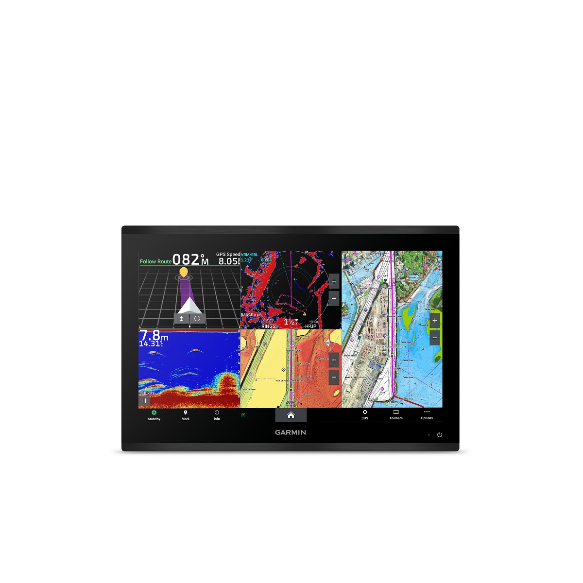
Experience the Garmin GPSMAP 9019 010-02673-00, a premium 19in plotter with a worldwide basemap, 4K IPS display, and advanced features like BlueNet network, Panoptix transducer, and Fusion audio integration, perfect for outboard lower unit navigation and more.
Description
Garmin GPSMAP 9019 Chartplotter with Worldwide Basemap
Model: 010-02673-00
- Premium 4K IPS sunlight-readable touchscreen display available in the industry’s largest integrated chartplotter size; glass helm with edge-to-edge design for seamless and modern look
- Processing power is 7 times faster than previous generations for superior performance
- Build extensive networks with reliable connectivity and gigabit speeds on the new Garmin BlueNet™ network
- Enjoy high-quality entertainment with video integration capabilities with HDCP distribution
- See fish in stunning high definition with a Panoptix™ transducer, GSD™ sonar module, LiveScope™ sonar and other sonar targets on the 4K display (transducers sold separately)
- Connect to multiple chartplotters, cameras and sonars — and get up to 10 times faster speeds on the Garmin BlueNet™ network
- Uses the NMEA 2000® and NMEA 0183® networks to connect to your compatible autopilots, sensors and more; compatible with existing marine ecosystems
- Take command of monitoring, control and automation systems with support for the EmpirBus™ system and other third-party solutions via OneHelm™ integrated digital switching
- Get audio alerts, and listen to music or a movie with Fusion™ audio intergartion
- Wi-Fi® connectivity for reliable wireless software updates via the ActiveCaptain® app with your compatible smartphone or tablet
- Keep tabs on engine performance with extensive engine integration, including J1939
- Get optional Garmin Navionics+™ charts to navigate or Garmin Navionics Vision+™ charts with premium features such as high-resolution relief shading
- Get your precise location with multi-band GPS and heading accuracy even at slow speeds with the included GPS 24xd position receiver and antenna Support for Auto Guidance+™ navigation technology with a Garmin Navionics+™ or Garmin Navionics Vision+™ chart purchase (for planning purposes only and does not replace safe navigation operations)
- Get extensive camera support to control and see footage directly on the chartplotter; get a bird’s-eye view from the helm with support for Garmin Surround View Camera System (accessory purchase required)
- Connect your compatible Garmin devices and more with integrated BLUETOOTH® and ANT® technologies; use spoken commands to control the chartplotter with your compatible headset
- Built for harsh marine conditions with an IPX7 water-resistance rating
Welcome to 4K paradise. GPSMAP® 9000 is the industry’s first integrated 4K resolution touchscreen chartplotter designed for captains who demand the best. Cruisers and anglers can enjoy edge-to-edge clarity on a glass helm with premium design and materials. This premier MFD features processing power that is 7 times faster than previous generations along with comprehensive connectivity throughout your vessel. Enjoy multimedia streaming and seamless video integration. Get a connected boating experience by linking your compatible MFDs, cameras, sonars and more on the Garmin BlueNet™ network. When your hands are full, use spoken commands to operate the chartplotter (compatible headset required; not included). Get support for Auto Guidance+™ navigation technology with the purchase of Garmin Navionics+ or Garmin Navionics Vision+ (for planning purposes only and does not replace safe navigation operations).
What’s in the Box:
- GPSMAP 19" chartplotter
- Trim snap covers
- Protective cover
- Flush mount hardware
- Power cable
- Documentation
- GPS 24xd antenna
- 2-meter backbone/drop cable
- T-connector
- NMEA 2000 power cable
- Terminators
Additional information
| Weight | 25.3 lbs |
|---|---|
| Google Part Number |
010-02673-00 |
| Google Product Category |
2178 |
You may also like
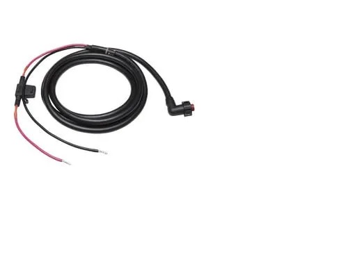
Garmin 010-11425-13 Power Cable, Right Angle Connector
SKU:
WT-GAR0101142513
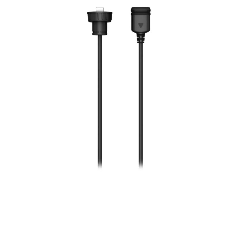
Garmin 010-12390-12 Adapter Cable USB-C to USB-A Female
SKU:
WT-GAR0101239012
Garmin 010-12390-13 Adapter Cable USB-C – Micro-USB Female
SKU:
WT-GAR0101239013
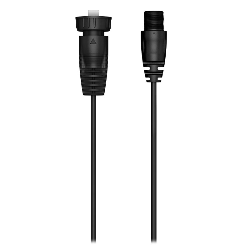
Garmin 010-12390-14 Adapter Cable USB-C to USB-A Male
SKU:
WT-GAR0101239014
Garmin 010-12390-22 High Speed HDMI Cable for GPSMAP9000 Series
SKU:
WT-GAR0101239022
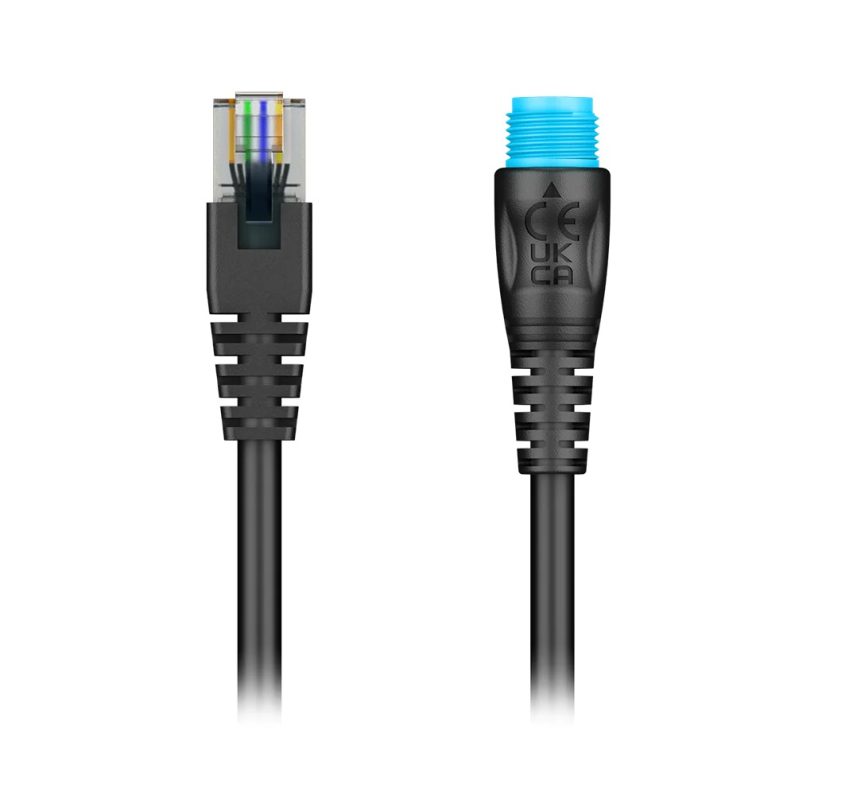
Garmin 010-12531-02 BlueNet Network to RJ45 Adapter
SKU:
WT-GAR0101253102
Garmin 010-13094-00 Network Adapter Cable Small Female Right Angle to Large Femal
SKU:
WT-GAR0101309400
Related Products
Airmar B164 1KW Bronze TH 12D Tilted Element 10P Furuno
SKU:
WT-AIRB1641210F
Airmar B175C-0-H 0d Tilt w/ Humminbird 14-Pin MM Cabl
SKU:
WT-AIRB175C0H14HB
Airmar B175C-0-H 0d Tilt With No Connector MM Cable
SKU:
WT-AIRB175C0H0
Airmar B175C-0-M 0d Tilt With No Connector MM Cable
SKU:
WT-AIRB175C0M0


