C-MAP M-NA-D932 4D Local Lake Huron And Georgian Bay
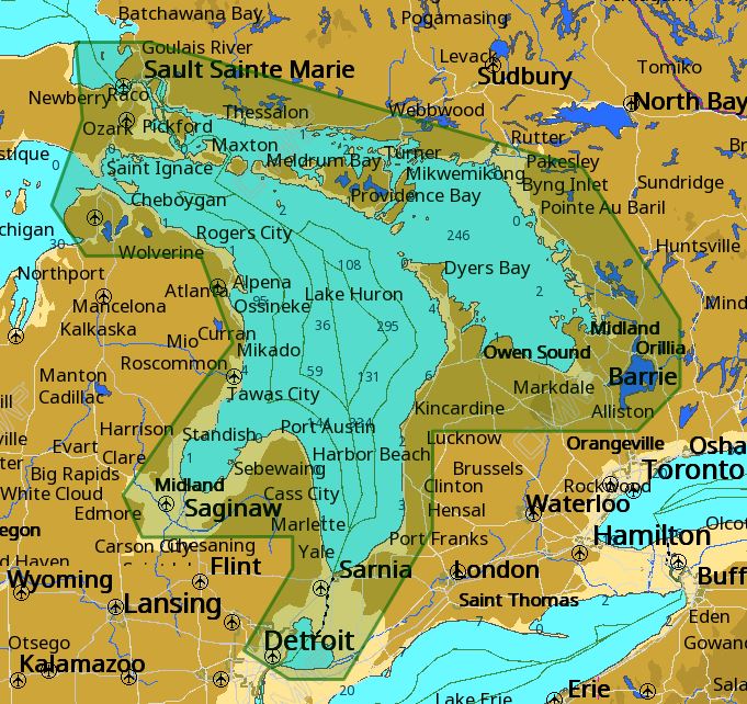
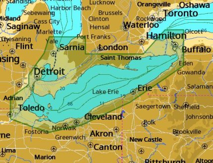
The C-MAP M-NA-D932 4D Local Lake Huron And Georgian Bay is a detailed marine chart that provides unparalleled coverage of Lake Huron and Georgian Bay. This chart is part of the C-MAP 4D Local series, which offers advanced features and accuracy. The C-MAP M-NA-D932 4D Local Lake Huron And Georgian Bay provides a detailed representation of the lake’s bottom topography, including contours, depth areas, and underwater features. Additionally, the chart includes information on marine facilities, such as harbors, marinas, and boat ramps.
With the C-MAP M-NA-D932 4D Local Lake Huron And Georgian Bay, you’ll have access to a wealth of information that will help you navigate the waters with confidence. The chart is compatible with a range of devices, including plotters, multifunction displays, and mobile devices. Whether you’re a recreational boater or a professional fisherman, the C-MAP M-NA-D932 4D Local Lake Huron And Georgian Bay is an essential tool for anyone looking to explore Lake Huron and Georgian Bay.
One of the key features of the C-MAP M-NA-D932 4D Local Lake Huron And Georgian Bay is its high-resolution bathymetric data, which provides a detailed representation of the lake’s bottom topography. This information is essential for fishermen, as it allows them to identify areas with structure, such as drop-offs, weed beds, and rock piles. Furthermore, the chart includes information on water levels, tides, and currents, which is critical for safe and efficient navigation.
In addition to its advanced features, the C-MAP M-NA-D932 4D Local Lake Huron And Georgian Bay is also highly accurate, with data that has been verified by C-MAP’s team of experts. The chart is updated regularly, ensuring that you have access to the most up-to-date information available. With the C-MAP M-NA-D932 4D Local Lake Huron And Georgian Bay, you can trust that you’re getting the most accurate and reliable information available.
Why pick the C-MAP M-NA-D932 4D Local Lake Huron And Georgian Bay:
- High-resolution bathymetric data provides a detailed representation of the lake’s bottom topography.
- Advanced features, including contours, depth areas, and underwater features.
- Compatible with a range of devices, including plotters, multifunction displays, and mobile devices.
Where to use it:
The C-MAP M-NA-D932 4D Local Lake Huron And Georgian Bay is ideal for anyone looking to explore Lake Huron and Georgian Bay, including:
- Recreational boaters looking to explore the lake’s many coves and inlets.
- Fishermen seeking to identify areas with structure and potential hotspots.
- Commercial fishermen looking to optimize their routes and increase their catch.
Tips for maintenance:
To ensure that your C-MAP M-NA-D932 4D Local Lake Huron And Georgian Bay remains accurate and up-to-date, be sure to:
- Regularly update your chart data to ensure you have the latest information.
- Keep your device’s software and firmware up-to-date to ensure compatibility.
- Store your chart data in a secure location to prevent loss


















Reviews
Clear filtersThere are no reviews yet.