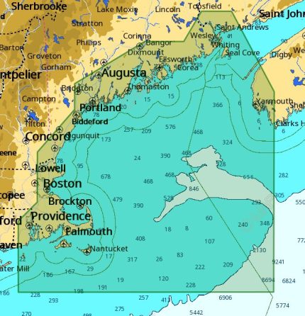
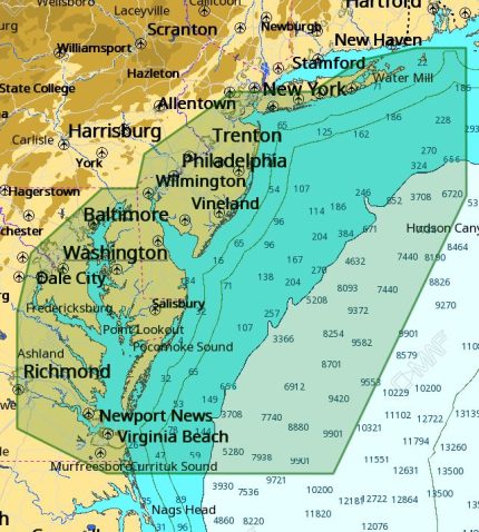
C-MAP M-NA-D940 4D Local Cape Cod Long Island Hudson
The C-MAP M-NA-D940 4D Local Cape Cod Long Island Hudson chart brings a new level of functionality to navigation, with 4D charts that provide a more realistic and accurate representation of the sea floor. The C-MAP M-NA-D940 4D Local Cape Cod Long Island Hudson uses satellite imagery and aerial photography to provide a detailed and realistic view of the above-water world.
With the C-MAP M-NA-D940 4D Local Cape Cod Long Island Hudson, you’ll have access to a vast amount of data, including Depth Areas, Contour Lines, and Spot Soundings. The C-MAP M-NA-D940 4D Local Cape Cod Long Island Hudson also features a range of 3D views, including a unique “Mariner’s Eye” view that simulates the view from the bridge of a vessel.
The C-MAP M-NA-D940 4D Local Cape Cod Long Island Hudson also includes a range of valuable features, such as Real-time Tides and Currents, Dynamic NavAids, and Route Planning. Plus, with the C-MAP M-NA-D940 4D Local Cape Cod Long Island Hudson, you’ll have access to a vast library of charts and maps, ensuring you have the most up-to-date and accurate information available.
Why pick the C-MAP M-NA-D940 4D Local Cape Cod Long Island Hudson:
- Experience a more realistic and accurate representation of the sea floor with 4D charts
- Get a detailed and realistic view of the above-water world with satellite imagery and aerial photography
- Access a vast amount of data, including Depth Areas, Contour Lines, and Spot Soundings
Where to use it:
The C-MAP M-NA-D940 4D Local Cape Cod Long Island Hudson is perfect for anyone who wants to explore the waters around Cape Cod, Long Island, and Hudson. Whether you’re a seasoned sailor or a beginner, the C-MAP M-NA-D940 4D Local Cape Cod Long Island Hudson provides the information you need to navigate these waters with confidence.
Tips for maintenance:
To ensure your C-MAP M-NA-D940 4D Local Cape Cod Long Island Hudson chart remains up-to-date and accurate, be sure to:
- Regularly update your chart with new data and information
- Store your chart in a protective case when not in use
- Avoid exposing your chart to direct sunlight or extreme temperatures
Let me know if you need any further adjustments!


Reviews
Clear filtersThere are no reviews yet.