C-MAP M-NA-D954 4D Local Cape Blanco – Cape Flattery
The C-MAP M-NA-D954 4D Local Cape Blanco – Cape Flattery is a high-performance electronic chart that provides detailed marine mapping data for boaters and fishermen. With its advanced 4D technology, this chart offers a more intuitive and realistic navigation experience. The C-MAP M-NA-D954 4D Local Cape Blanco – Cape Flattery is designed to work seamlessly with a range of GPS plotters and multifunction displays, ensuring that you have access to the most accurate and up-to-date marine data available.
The C-MAP M-NA-D954 4D Local Cape Blanco – Cape Flattery includes a range of innovative features, including 3D views, tidal and current data, and aerial photography. This chart also provides detailed information on marine protected areas, restricted zones, and other important navigation data. Additionally, the C-MAP M-NA-D954 4D Local Cape Blanco – Cape Flattery includes a range of useful features such as Dynamic NavAids, which provide real-time data on navigation aids, and Tides and Currents, which offer accurate predictions of tidal and current patterns.
Furthermore, the C-MAP M-NA-D954 4D Local Cape Blanco – Cape Flattery is compatible with a range of devices, including Furuno, Garmin, and Raymarine systems. This chart is also backed by C-MAP’s commitment to providing the most accurate and up-to-date marine data available, ensuring that you have access to the information you need to navigate safely and effectively.
Why pick the C-MAP M-NA-D954 4D Local Cape Blanco – Cape Flattery:
- Provides detailed marine mapping data for boaters and fishermen
- Offers advanced 4D technology for a more intuitive and realistic navigation experience
- Includes innovative features such as 3D views, tidal and current data, and aerial photography
Where to use it:
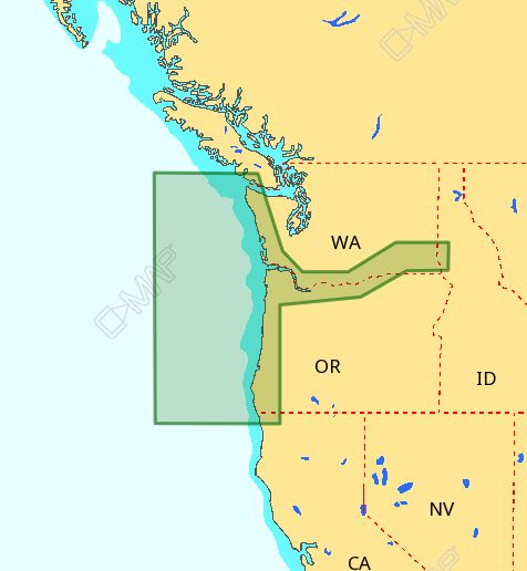
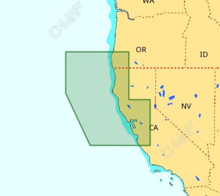
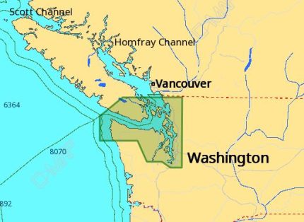
The C-MAP M-NA-D954 4D Local Cape Blanco – Cape Flattery is ideal for boaters and fishermen who operate in the Cape Blanco – Cape Flattery region. This chart provides detailed information on marine protected areas, restricted zones, and other important navigation data, making it an essential tool for anyone navigating these waters.
Tips for maintenance:









Reviews
Clear filtersThere are no reviews yet.