the C-MAP Reveal X Inland US Lakes South Central microSD:
C-MAP Reveal X Inland US Lakes South Central microSD, MS-IC-S-CENTRAL
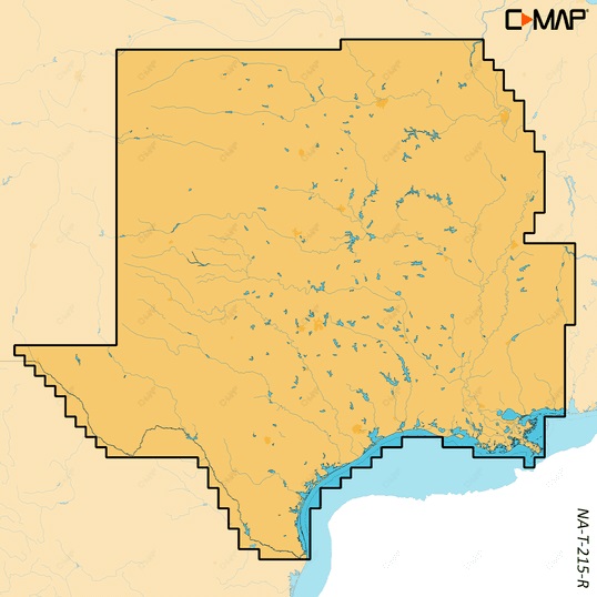
The C-MAP Reveal X Inland US Lakes South Central microSD, MS-IC-S-CENTRAL, is a high-performance chart card that brings the latest technology to your Garmin chart plotter. With Reveal X, you’ll get the accurate, up-to-date cartography and features you need to navigate the inland lakes of the South Central United States with confidence. This microSD card provides highly detailed lake maps, including depth contours, structure, and other underwater features, as well as navigation aids, obstructions, and more.
Using the C-MAP Reveal X Inland US Lakes South Central microSD, you’ll have access to a range of innovative features, including 1-foot contours on more than 14,000 lakes, including the Great Lakes. You’ll also get dynamic lake levels, which allow you to adjust the lake level to match the current conditions, and a variety of lake-specific information, such as fish species, fishing regulations, and more.
The C-MAP Reveal X Inland US Lakes South Central microSD is compatible with a range of Garmin chart plotters, including the GPSMAP and echoMAP series. It’s easy to install and use, and it’s backed by C-MAP’s commitment to providing the most accurate and up-to-date cartography available.
Whether you’re a serious angler, a casual boater, or just someone who loves exploring the inland lakes of the South Central United States, the C-MAP Reveal X Inland US Lakes South Central microSD is the perfect choice for your Garmin chart plotter.
Why pick the C-MAP Reveal X Inland US Lakes South Central microSD:
- Get the most accurate and up-to-date cartography available for the inland lakes of the South Central United States.
- Take advantage of innovative features like 1-foot contours, dynamic lake levels, and lake-specific information.
- Enjoy seamless compatibility with a range of Garmin chart plotters.
Where to use it:
The C-MAP Reveal X Inland US Lakes South Central microSD is perfect for anyone who spends time on the inland lakes of the South Central United States, including:
- Anglers targeting specific species or structures.
- Casual boaters looking to explore new lakes and waterways.
- Water sports enthusiasts who need to know the layout of the lake.
Tips for maintenance:
To get the most out of your C-MAP Reveal X Inland US Lakes South Central microSD, be sure to:
- Regularly update your chart card to ensure you have the latest cartography and features.
- Use a high-quality microSD card reader to prevent data corruption.
- Store your chart card in a safe, dry place when not in use.










Reviews
Clear filtersThere are no reviews yet.