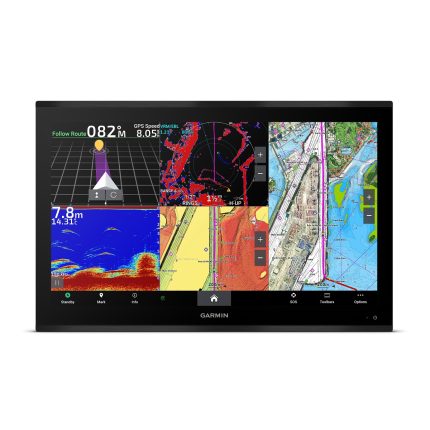
Garmin GPSMAP 9227 chartplotter with Garmin Navionics+™
Model: 010-02676-01
- Premium 4K IPS sunlight-readable touchscreen display available in the industry’s largest integrated chartplotter size; glass helm with edge-to-edge design for seamless and modern look
- Processing power is 7 times faster than previous generations for superior performance
- Build extensive networks with reliable connectivity and gigabit speeds on the new Garmin BlueNet™ network
- Enjoy high-quality entertainment with video integration capabilities with HDCP distribution
- See fish in stunning high definition with a Panoptix™ transducer, GSD™ sonar module, LiveScope™ sonar and other sonar targets on the 4K display (transducers sold separately)
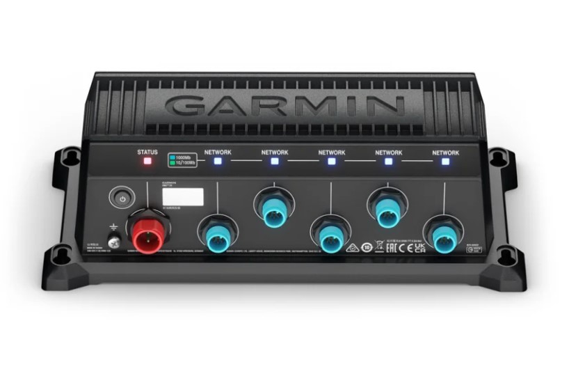
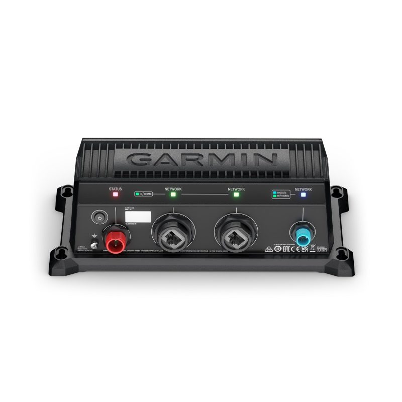
- Connect to multiple chartplotters, cameras and sonars — and get up to 10 times faster speeds on the Garmin BlueNet™ network
- Uses the NMEA 2000® and NMEA 0183® networks to connect to your compatible autopilots, sensors and more; compatible with existing marine ecosystems
- Take command of monitoring, control and automation systems with support for the EmpirBus™ system and other third-party solutions via OneHelm™ integrated digital switching
- Get audio alerts, and listen to music or a movie with Fusion™ audio intergartion
- Wi-Fi® connectivity for reliable wireless software updates via the ActiveCaptain® app with your compatible smartphone or tablet
- Keep tabs on engine performance with extensive engine integration, including J1939
- Get optional Garmin Navionics+™ charts to navigate or Garmin Navionics Vision+™ charts with premium features such as high-resolution relief shading
- Get your precise location with multi-band GPS and heading accuracy even at slow speeds with the included GPS 24xd position receiver and antenna Support for Auto Guidance+™ navigation technology with a Garmin Navionics+™ or Garmin Navionics Vision+™ chart purchase (for planning purposes only and does not replace safe navigation operations)
- Get extensive camera support to control and see footage directly on the chartplotter; get a bird’s-eye view from the helm with support for Garmin Surround View Camera System (accessory purchase required)
- Connect your compatible Garmin devices and more with integrated BLUETOOTH® and ANT® technologies; use spoken commands to control the chartplotter with your compatible headset
- Built for harsh marine conditions with an IPX7 water-resistance rating
Welcome to 4K paradise. GPSMAP® 9000 is the industry’s first integrated 4K resolution touchscreen chartplotter designed for captains who demand the best. Cruisers and anglers can enjoy edge-to-edge clarity on a glass helm with premium design and materials. This premier MFD features processing power that is 7 times faster than previous generations along with comprehensive connectivity throughout your vessel. Enjoy multimedia streaming and seamless video integration. Get a connected boating experience by linking your compatible MFDs, cameras, sonars and more on the Garmin BlueNet™ network. When your hands are full, use spoken commands to operate the chartplotter (compatible headset required; not included). Get support for Auto Guidance+™ navigation technology with the purchase of Garmin Navionics+ or Garmin Navionics Vision+ (for planning purposes only and does not replace safe navigation operations).
What’s in the Box:
- GPSMAP 9227 chartplotter with Garmin Navionics+
- Trim snap covers
- Protective cover
- Flush mount hardware
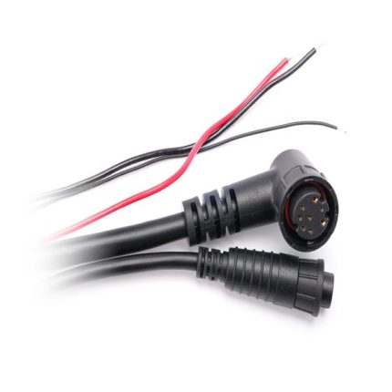
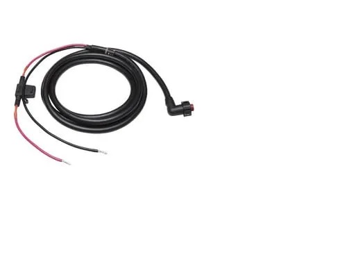
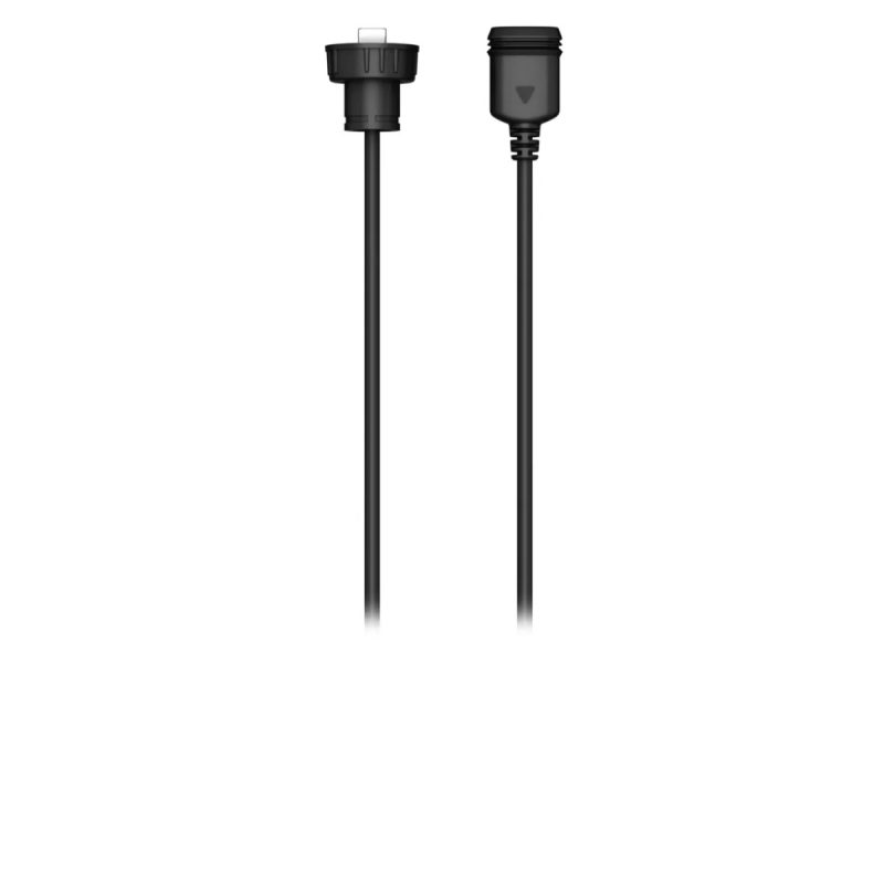
- Power cable
- Documentation
- GPS 24xd antenna
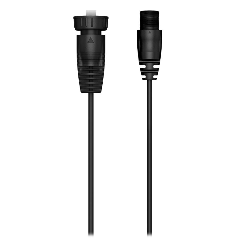
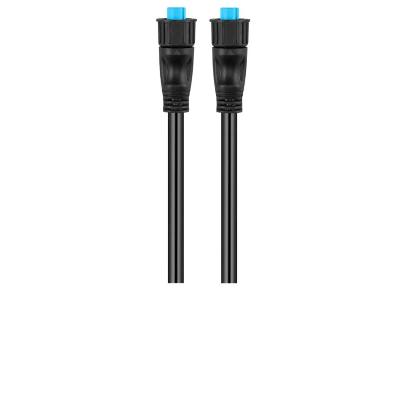
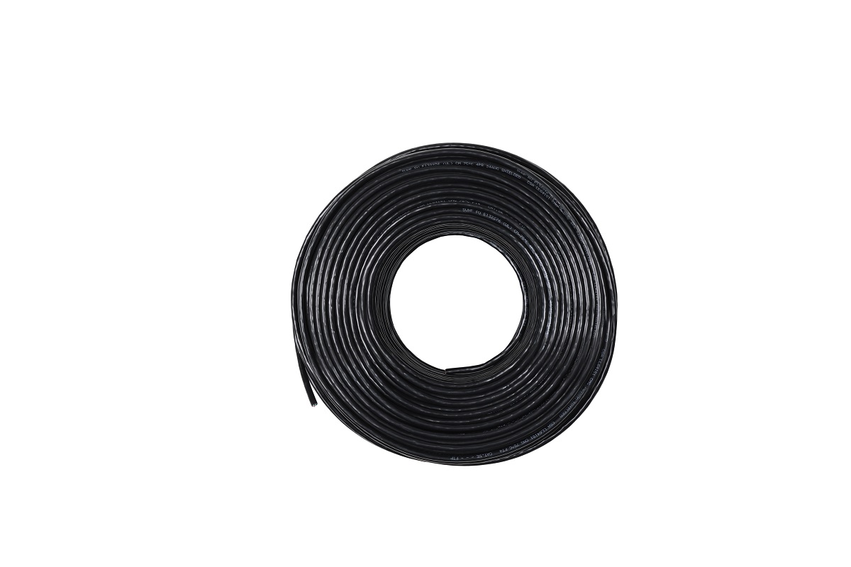
- 2-meter backbone/drop cable
- T-connector
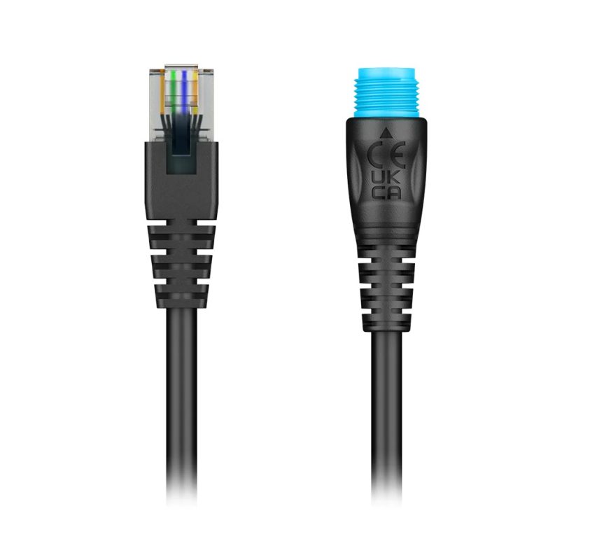
- NMEA 2000 power cable
- Terminators


Reviews
Clear filtersThere are no reviews yet.