Garmin LVUS107F LakeVü g3 Ultra U.S. – West
Model: 010-C1205-00
- Provides industry-leading coverage, clarity and detail for more than 17,000 lakes with 1’ contours that feature integrated Garmin and Navionics® data
- Auto Guidance technology uses your desired depth and overhead clearance to calculate routes and show a suggested path to follow
- Coverage for more than 17,000 lakes, of which more than 150 are Garmin Elite survey lakes with up to 1’ contours
- High-resolution relief shading combines color and shadow to give you an easy-to-interpret, clearer view of bottom structure than contour lines alone
- The West card covers more than 5,900 HD lakes with up to 1’ contours, and more than 75 Garmin Elite survey lakes
Experience unparalleled coverage and brilliant detail on the water. LakeVü g3 Ultra inland water maps provide industry-leading coverage, clarity and detail with integrated Garmin and Navionics data, Auto Guidance technology and high-resolution relief shading.
The Auto Guidance feature uses your desired depth and overhead clearance to calculate a route and suggest a path to follow.
High-resolution relief shading combines color and shadow to give you an easy-to-interpret, clearer view of bottom structure than contour lines alone.
You can adjust your maps to the lake’s current water level to have a better idea of spots that are either accessible or too shallow to explore.
MarinerEye and FishEye views provide additional perspective both above and below the water line.
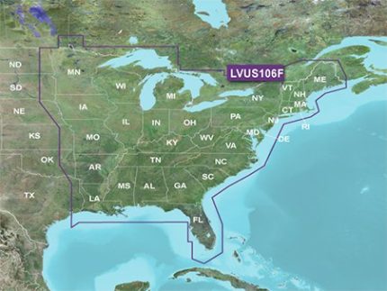
Covers the continental U.S. west of the Mississippi River


Reviews
Clear filtersThere are no reviews yet.