C-MAP Reveal Canada Lakes Pros & Cons Guide
C-MAP Reveal Inland Canada Lakes for Boats & Marine Engines
Introduction
Whether you’re a seasoned Canadian angler or a weekend cruiser exploring inland waters, having the right marine cartography tool can dramatically enhance your boating experience. Enter the C-MAP Reveal Canada Lakes for boats – a powerful navigation chip that brings inland waters to life with rich detail, vivid shaded relief, and precision mapping. If you’re navigating lakes from British Columbia to Nova Scotia, this is the tool every boater must consider.
With intuitive displays, 1-foot depth contours, satellite overlay, and Custom Depth Shading, C-MAP Reveal transforms your marine chartplotter into a high-definition navigation system. It’s designed to support safe, productive, and efficient boating – whether for fishing, sailing, or simply cruising across Canadian lakes.
Overview / What Is C-MAP Reveal Canada Lakes for Boats
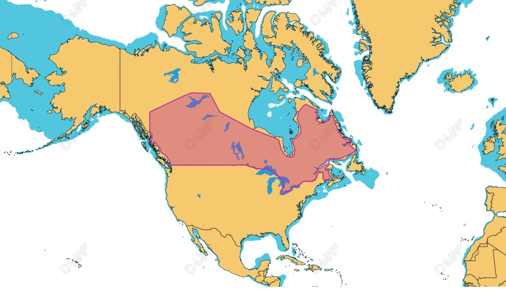
The C-MAP Reveal Canada Lakes for boats is a specialized microSD chart designed for Lowrance, Simrad, and B&G chartplotters. This specific version covers an expansive range of inland Canadian lakes with high-resolution shaded relief, precise depth contours, and integrated satellite imagery. Unlike traditional charts, it offers a visual clarity that’s ideal for understanding terrain, underwater features, and fishing hotspots.
This Reveal chart provides complete access to C-MAP’s most powerful inland cartography features including Genesis Layer integration, Custom Depth Shading, and more. It’s made specifically for freshwater use – designed with input from anglers and lake explorers across Canada.
Key Features of C-MAP Reveal Canada Lakes
- Shaded Relief Imagery: Get photorealistic underwater mapping that reveals drop-offs, ledges, and structure with precision.
- Satellite Overlay: Lay real satellite imagery over your charts for intuitive visual navigation.
- Genesis Layer: Leverage community-sourced lake maps and contours for hyper-local accuracy.
- 1-Foot Contours: Unmatched detail that aids in fishing, anchoring, and obstacle avoidance.
- Custom Depth Shading: Highlight specific depth ranges to match your fishing or navigation needs.
Thanks to these features, users can explore with more confidence, better locate fish-holding areas, and understand lake geography in fine detail.
How to Install C-MAP Reveal Canada Lakes Chip
Installing the C-MAP Reveal Canada Lakes for boats chip is a straightforward process. Just follow these steps:
- Power off your compatible Lowrance, Simrad, or B&G chartplotter.
- Insert the microSD card into the card slot (usually located behind a waterproof cover).
- Power on the device and wait for the C-MAP Reveal chart to load automatically.
- Navigate to the chart source menu and select “C-MAP Reveal.”
- Customize settings like Shaded Relief, Contour Shading, and Satellite Overlay as per your preference.
This simple plug-and-play method ensures you’re up and running in minutes without needing technical expertise.
Best Use Cases for C-MAP Reveal Canada Lakes
Whether you’re a professional angler, a marina owner, or a recreational sailor, the C-MAP Reveal Canada Lakes for boats opens new dimensions of usability:
- Fishing: Use relief shading and 1’ contours to spot prime fishing zones.
- Sailing & Cruising: Enjoy safer navigation through tight channels and shallow zones.
- Lake Mapping: Explore new lakes confidently using Genesis data overlays.
This chip’s integration with powerful brands like Simrad and Lowrance also ensures excellent compatibility and user experience.
Maintenance Tips
While digital charts require minimal maintenance, following a few best practices can extend the life and performance of your C-MAP Reveal Canada Lakes for boats chip:
- Store in Dry Conditions: Always keep the microSD chip in a protective case when not in use.
- Handle with Clean Hands: Avoid touching the metallic contact points of the card.
- Firmware Updates: Ensure your chartplotter is running the latest software to avoid compatibility issues.
- Avoid Frequent Removal: Insert and leave the chip in place as repeated insertions can damage contact points.
With proper care, your C-MAP Reveal chip will provide years of reliable service and pinpoint navigation across Canadian waters.
Expert Advice and Pro Recommendations
Our team of marine navigation experts strongly recommends the C-MAP Reveal Inland Canada Lakes chip for those navigating freshwater territories across Canada. If you’re targeting bass, pike, or walleye on inland lakes, shaded relief maps make structure identification incredibly simple. Satellite overlays help you plan anchoring or dock entry with superior confidence.
Bonus Tip: Use the Genesis Layer combined with Shaded Relief for unparalleled structure-finding detail.
Don’t forget to use code WELCOME5 at checkout for 5% off on your purchase at C-MAP Reveal Inland Canada Lakes.
Top Benefits of Using C-MAP Reveal Canada Lakes
Let’s look at the core advantages that elevate this product above other inland chart solutions:
- Clarity: Highly readable and detailed, even at zoomed-in levels.
- Reliability: Data sourced from hydrographic offices and Genesis community surveys.
- Ease of Use: Simple interface and plug-and-play setup.
- Cost Effective: One-time purchase, no recurring subscription needed.
This level of detail and customization in inland lakes is unmatched by most competing cartography systems.
Compatible Devices and Chartplotters
The C-MAP Reveal Canada Lakes chip is compatible with a wide range of marine electronics:
- Lowrance HDS LIVE
- Lowrance Elite FS
- Simrad GO and NSS Evo3/Evo3S
- B&G Vulcan and Zeus Series
Before purchasing, ensure your device supports the Reveal series and has an available microSD slot.
Detailed FAQ Section
What makes C-MAP Reveal Canada Lakes different from standard C-MAP charts?
The C-MAP Reveal Canada Lakes for boats is unique due to its shaded relief and satellite overlay features. Traditional C-MAP charts offer depth contours and navigation aids but lack the visual enhancements like 3D shaded topography. Reveal maps offer detailed underwater views that help you detect humps, drop-offs, and ledges – essential for advanced fishing and safe cruising. If you’re deciding between Reveal and standard charts, choose Reveal for richer detail and better situational awareness.
Is it worth upgrading to C-MAP Reveal for inland lake fishing?
Absolutely. For serious anglers fishing in Canadian lakes, the added depth and terrain data of Reveal charts is a game-changer. The 1-foot contour resolution and visual clarity allow you to pinpoint fish-holding structures, saving you time and increasing your catch rate. Combined with Custom Depth Shading and Genesis community data, it’s a smart investment for those who want to get the most out of every trip.
Can I use this C-MAP Reveal chip outside Canada?
No, this specific chip is limited to Canadian inland lakes. It does not include U.S. waters or coastal regions. However, other versions of C-MAP Reveal are available for those zones. Always check regional coverage maps before purchasing. For U.S. boaters, there are C-MAP Reveal chips for the Great Lakes and U.S. Inland waters available at allboatsupplies.com.
Does the chip require internet access or subscriptions?
No internet connection is required. The C-MAP Reveal chip operates directly from your compatible chartplotter via the microSD card. It is a one-time purchase with no annual fees or hidden costs. All updates, if applicable, can be downloaded to your chartplotter using C-MAP’s software tools, but they’re entirely optional.
Is this chart compatible with Yamaha systems?
While it’s not directly used within Yamaha display systems, any Yamaha-powered boat using a compatible Lowrance, Simrad, or B&G chartplotter will benefit from this chart. Yamaha engines paired with NMEA2000-compatible displays can coexist smoothly. For more details on compatible tech setups, visit Yamaha Outboards.
Conclusion
In conclusion, the C-MAP Reveal Canada Lakes for boats is a must-have for inland navigation across Canada. With shaded relief, 1-foot contours, and satellite overlays, it provides unparalleled visibility into lake terrains. It’s compatible with leading marine brands, easy to install, and tailored for Canadian waters. Whether you’re fishing, cruising, or exploring new lakes, this tool offers every advantage you need on the water.
Special Offer
WELCOME5 – Get 5% off storewide at allboatsupplies.com
🚀 Instant Assistance: Need help selecting the right product? Drop your contact in the chatbox at the bottom right corner, and our expert team will reply within 30 minutes with the best product suggestion for your boat — including a ready-to-use checkout link. We’re fast, knowledgeable, and always here for your boating needs!
No more guesswork — just message us and get a personalized checkout link fast!
Let us handle the hassle — expert support, quick replies, and smooth checkout. Your boat deserves the best.
🔥 Up to 5% OFF – Limited Time!
Use code WELCOME5 on C-MAP Reveal Inland Canada Lakes