Humminbird Aerial View Delta – Pros & Cons Guide
Introduction
If you’re navigating the rich waterways of the Louisiana Delta, having precise cartographic data is non-negotiable. The Humminbird Aerial View Delta delivers unmatched clarity and performance in marine navigation. Designed specifically for boaters and anglers, this Version 1 (V1) chart offers high-definition satellite imagery of one of the most complex aquatic landscapes in North America. From redfish hunting to avoiding hidden shallows, this product arms you with the intelligence needed for confident travel and fishing success.
Whether you’re a weekend boater, professional guide, or commercial operator, the Humminbird Aerial View Delta is a game-changer. Let’s dive into the details and learn how this advanced marine tool can revolutionize your time on the water.
Overview / What Is Humminbird Aerial View Delta
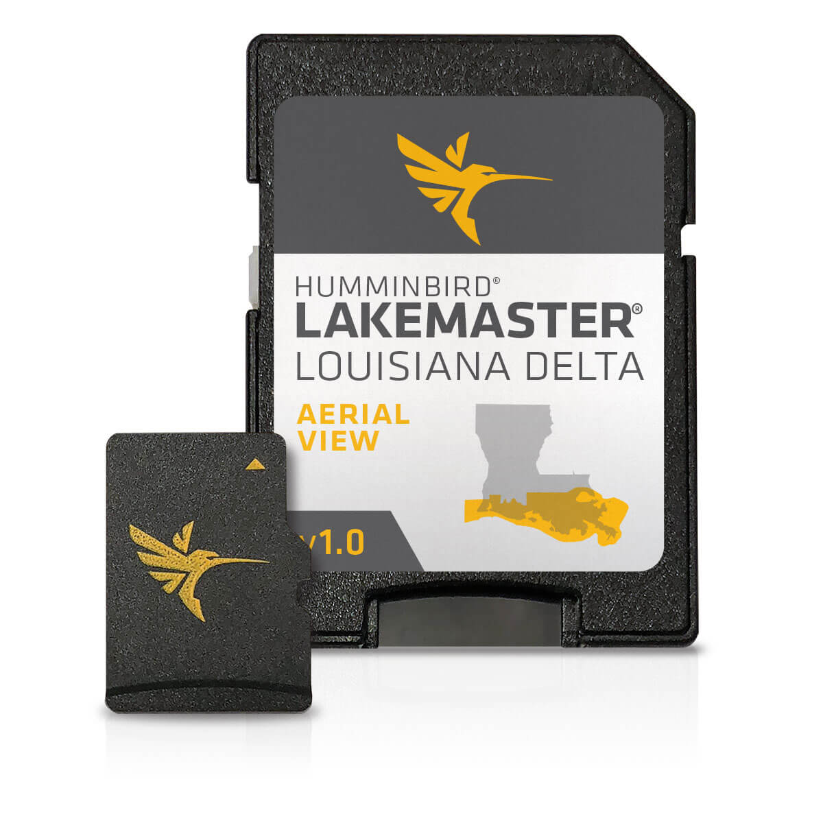
The Humminbird Aerial View Delta is a digital cartography product engineered by Humminbird to offer high-resolution satellite imagery of the Louisiana Delta. Built for compatibility with Humminbird chartplotters, this system gives boaters unprecedented aerial detail of marshes, bays, channels, and fishing spots.
Its hyper-accurate imagery lets users visualize terrain, distinguish between mudflats and marshes, and spot productive fishing zones. Whether you’re targeting shallow-water species or simply cruising, this map offers serious performance advantages.
Benefits of Using High-Resolution Aerial Cartography
The Humminbird Aerial View Delta takes traditional charting to the next level. Here’s why high-resolution cartography like this matters:
- Visual Landmarks: Pinpoint piers, jetties, marshes, and drop-offs.
- Shallow Water Navigation: Identify sandbars and low tide exposure zones.
- Real-Time Situational Awareness: Make informed decisions quickly.
- Angler Intelligence: Discover new spots based on visible terrain.
With this advanced visibility, you’re no longer blind in unfamiliar territory. You can chart a course with confidence.
Installing Humminbird Aerial View Delta V1
Wondering how to install Humminbird Aerial View Delta V1 on your device? It’s straightforward with these steps:
- Insert the SD card with the Louisiana Delta V1 map into your compatible Humminbird unit.
- Turn on your device and navigate to the Chart Menu.
- Select the Aerial Imagery Layer and choose the “Louisiana Delta V1” dataset.
- Enable overlay options and zoom into your preferred regions.
Installation is usually plug-and-play for most Humminbird Helix, Solix, or Apex series units. Always update firmware to the latest version for best compatibility.
Maintenance Tips
To ensure the longevity and functionality of your Humminbird Aerial View Delta, follow these maintenance tips:
- Protect the SD Card: Always remove the card before shutting off your system to prevent data corruption.
- Back-Up Data: Make a digital backup of the SD card using your PC or cloud storage.
- Update Maps Annually: Humminbird periodically releases updated versions — don’t fall behind.
- Clean SD Slot: Use compressed air to remove dust from your card reader slot.
Regular upkeep not only extends the life of the map card but also keeps your charts sharp and current.
Expert Advice and Pro Recommendations
Marine experts and charter captains highly recommend using Humminbird Aerial View Delta during high and low tide phases. The satellite view lets them anticipate how tides will expose or cover terrain, allowing better anchor and fishing decisions.
They also stress combining it with sonar and side imaging. The combo of data from your chart, sonar, and imagery will significantly elevate your navigational prowess and fishing game.
Buy now: Humminbird Aerial View Louisana Delta V1 and use code WELCOME5 for an exclusive 5% off.
Using Aerial Mapping in Shallow Fishing Grounds
The Louisiana Delta is renowned for its shallow estuaries and backwater channels. Traditional sonar often lacks the resolution to depict these shallow zones clearly. That’s where aerial imagery shines.
With Humminbird Aerial View Delta, you can visually identify flats, submerged vegetation, and transitional zones. This makes it ideal for targeting redfish, speckled trout, and flounder in seasonal hotspots.
Comparing Humminbird Aerial View Delta with Other Cartography Systems
When comparing to Navionics, Garmin, or C-MAP charts, the Humminbird Aerial View Delta wins in realism and visual accuracy for shallow environments. Unlike depth contours alone, this product shows textures, colors, and even dry land at low tide.
Users report better decision-making and increased fishing productivity. And it’s designed to work seamlessly with Humminbird sonar, enhancing integration and user experience. Learn more about marine technology at Yamaha Outboards.
Detailed FAQ Section
What devices are compatible with Humminbird Aerial View Delta?
The Humminbird Aerial View Delta V1 is compatible with a wide range of Humminbird chartplotters, including the HELIX, SOLIX, and APEX models. Before purchasing, ensure your device supports aerial mapping and is updated to the latest firmware. Compatibility is seamless for models produced after 2018 and may require firmware patches for older units.
How often should I update my cartography data?
It’s recommended to update your maps at least once a year. While the Louisiana Delta doesn’t change overnight, marshes, tide patterns, and siltation make it a dynamic environment. Keeping your maps updated ensures better accuracy and reliability. Check with Humminbird for available updates or newer V2 editions.
Is the imagery live or static?
The Humminbird Aerial View Delta uses static high-resolution satellite imagery. It is not live like radar or sonar. However, the resolution and depth of the images still provide a valuable visual reference. Pairing this data with live sonar is advised for optimal navigation and fishing strategy.
Can I use this map outside of the Louisiana Delta?
No, the Humminbird Aerial View Delta V1 is region-specific. It is geo-locked to the Louisiana Delta and will not show imagery for other states or offshore waters. If you’re traveling outside Louisiana, consider other aerial maps from Humminbird’s regional collection or Navionics+ or Platinum+ for broader coverage.
What if the card gets damaged or lost?
If your map SD card is damaged, contact Humminbird customer support. In some cases, they may provide replacements if you’ve registered the product. It’s best to store the card in a protective case when not in use and back up its contents (if allowed) on a secure drive. Prevention is key to avoid losing vital navigational data.
Conclusion
From recreational fishermen to navigation experts, the Humminbird Aerial View Delta is a standout solution for high-precision charting in the Louisiana Delta. Its visual capabilities go far beyond traditional contour maps, making it ideal for shallow water scouting, marsh navigation, and inshore fishing.
Easy to install, trusted by professionals, and constantly evolving with updates, this is one of the best investments for serious boaters and marine tech enthusiasts.
Special Offer
WELCOME5 – Get 5% off storewide at allboatsupplies.com
🚀 Instant Assistance: Need help selecting the right product? Drop your contact in the chatbox at the bottom right corner, and our expert team will reply within 30 minutes with the best product suggestion for your boat — including a ready-to-use checkout link. We’re fast, knowledgeable, and always here for your boating needs!
No more guesswork — just message us and get a personalized checkout link fast!
Let us handle the hassle — expert support, quick replies, and smooth checkout. Your boat deserves the best.
🔥 Up to 5% OFF – Limited Time!
Use code WELCOME5 on Humminbird Aerial View Louisana Delta V1
Read More
For more helpful marine maintenance guides, check out our article on C-MAP Reveal X Lakes North West microSD – Best & Worst Reviews.