C-MAP NA-M023 Max Wide microSD Gulf Coast , Great Lakes and Rivers
$323.01 Original price was: $323.01.$291.00Current price is: $291.00.
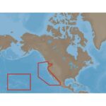
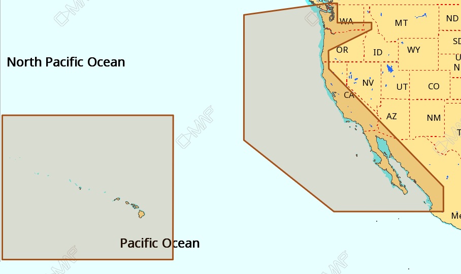
C-MAP NA-M024 Max Wide microSD West Coast And Hawaii
$323.01 Original price was: $323.01.$291.00Current price is: $291.00.
Fast delivery within 72 Hours
C-MAP NA-M024 Max Wide C Card West Coast And Hawaii
$309.69 Original price was: $309.69.$279.00Current price is: $279.00.
Out of stock
SKU:
WT-CMAMNAM024CC
Category: C-MAP Max
Explore the C-MAP NA-M024 C Card West Coast and Hawaii chartplotter – M-NA-M024-CC, featuring updated charts, compatible with top manufacturers, and extensive coverage of coastal waters, lakes, and rivers, ideal for outboard lower unit navigation.
Description
the C-MAP NA-M024 Max Wide C Card West Coast And Hawaii:
C-MAP NA-M024 Max Wide C Card West Coast And Hawaii
The C-MAP NA-M024 Max Wide C Card West Coast And Hawaii is a premium navigation chart card that provides detailed and accurate maps of the West Coast and Hawaii. This chart card is designed to work seamlessly with your chart plotter, offering a wide range of features and benefits that make it an essential tool for any mariner.
The C-MAP NA-M024 Max Wide C Card West Coast And Hawaii offers advanced chart plotting capabilities, including 3D charts, aerial photos, and dynamic tidal and current information. With this chart card, you’ll have access to a vast array of navigation data, including buoy data, lights, and other important information.
One of the key benefits of the C-MAP NA-M024 Max Wide C Card West Coast And Hawaii is its ability to provide highly detailed and accurate maps of the West Coast and Hawaii. This chart card includes detailed charts of popular fishing and boating areas, making it an ideal choice for anglers and boaters alike.
Why pick the C-MAP NA-M024 Max Wide C Card West Coast And Hawaii?
The C-MAP NA-M024 Max Wide C Card West Coast And Hawaii offers a range of unique benefits that make it an ideal choice for mariners. These include:
- Highly detailed and accurate maps of the West Coast and Hawaii
- Advanced chart plotting capabilities, including 3D charts and aerial photos
- Dynamic tidal and current information for safe and efficient navigation
- Compatibility with a wide range of chart plotters and navigation systems
Where to use it
The C-MAP NA-M024 Max Wide C Card West Coast And Hawaii is designed for use in a variety of applications, including:
- Fishing and boating in the West Coast and Hawaii
- Cruising and sailing in coastal waters
- Commercial fishing and shipping operations
- Recreational boating and water sports
Tips for maintenance
To ensure that your C-MAP NA-M024 Max Wide C Card West Coast And Hawaii continues to function properly, follow these maintenance tips:
- Regularly update your chart card to ensure that you have the latest navigation data
- Store your chart card in a safe and secure location when not in use
- Avoid exposing your chart card to extreme temperatures or moisture
- Use a soft cloth to clean your chart card and avoid using harsh chemicals
By following these tips, you can ensure that your C-MAP NA-M024 Max Wide C Card West Coast And Hawaii continues to provide accurate and reliable navigation data for years to come.
The C-MAP NA-M024 Max Wide C Card West Coast And Hawaii is an essential tool for any mariner, offering a range of advanced features and benefits that make it an ideal choice for fishing, boating, and other water-based activities. With its highly detailed and accurate maps, advanced chart plotting capabilities, and dynamic tidal and current information, this chart card is an essential tool for safe and efficient navigation.
Whether you’re a seasoned angler or a recreational boater, the C-MAP NA-M024 Max Wide C Card West Coast And Hawaii is an essential tool that can help you navigate the waters of the West Coast and Hawaii with confidence. So why wait? Get your C-MAP NA-M024 Max Wide C Card West Coast And Hawaii today and start experiencing
Additional information
| Weight | 0.1 lbs |
|---|
Related Products
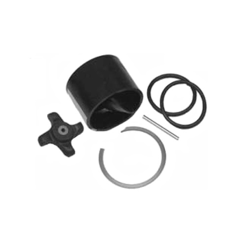
Airmar 33-493-01 Paddle Wheel Spares Kit For S800 ST800
SKU:
WT-AIR3349301
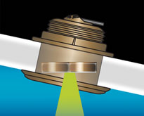
Airmar B164 1KW Bronze TH 12D Tilted Element 10P Furuno
SKU:
WT-AIRB1641210F
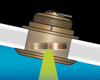
Airmar B164 1KW Bronze TH 20D Tilted Element 10P Furuno
SKU:
WT-AIRB1642010F
Airmar B164 1KW Bronze TH 20D Tilted Element Raymarine
SKU:
WT-AIRB16420RAY
Airmar B175C-0-H 0d Tilt With Garmin 8-Pin MM Cable
SKU:
WT-AIRB175C0H8G
Airmar B175C-0-M 0d Tilt With No Connector MM Cable
SKU:
WT-AIRB175C0M0


