


C-MAP NA-M025 Max Wide C Card Canada West Including Puget Sound
Original price was: $309.69.$279.00Current price is: $279.00.
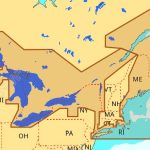
C-MAP NA-M026 Max Wide microSD Great Lakes, Northeast and Approaches
Original price was: $323.01.$291.00Current price is: $291.00.
-10%Sold out

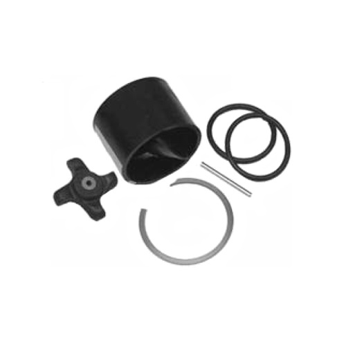
Airmar 33-493-01 Paddle Wheel Spares Kit For S800 ST800
SKU:
WT-AIR3349301
Original price was: $31.08.$28.00Current price is: $28.00.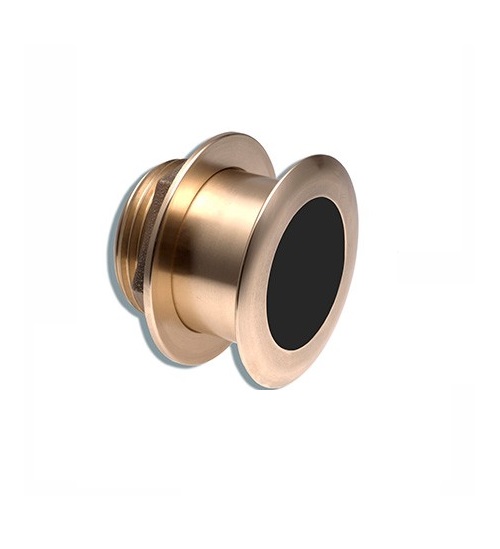
Airmar B164 1KW Bronze TH 0 Deg Tilt 8 Pin Garmin
SKU:
WT-AIRB16408G
Original price was: $1,415.25.$1,275.00Current price is: $1,275.00.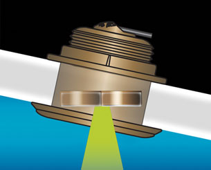
Airmar B164 1KW Bronze TH 20D Tilted Element Lowrance
SKU:
WT-AIRB16420BL
Original price was: $1,415.25.$1,275.00Current price is: $1,275.00.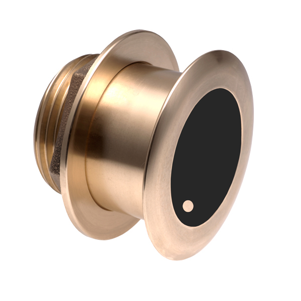
Airmar B175C-0-H 0d Tilt High CHIRP With MM Connector
SKU:
WT-AIRB175C0HMM
Original price was: $1,292.04.$1,164.00Current price is: $1,164.00.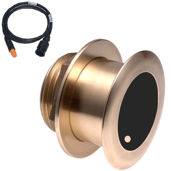
Airmar B175C-0-H 0d Tilt With Garmin 12-Pin MM Cable
SKU:
WT-AIRB175C0H12G
Original price was: $1,441.89.$1,299.00Current price is: $1,299.00.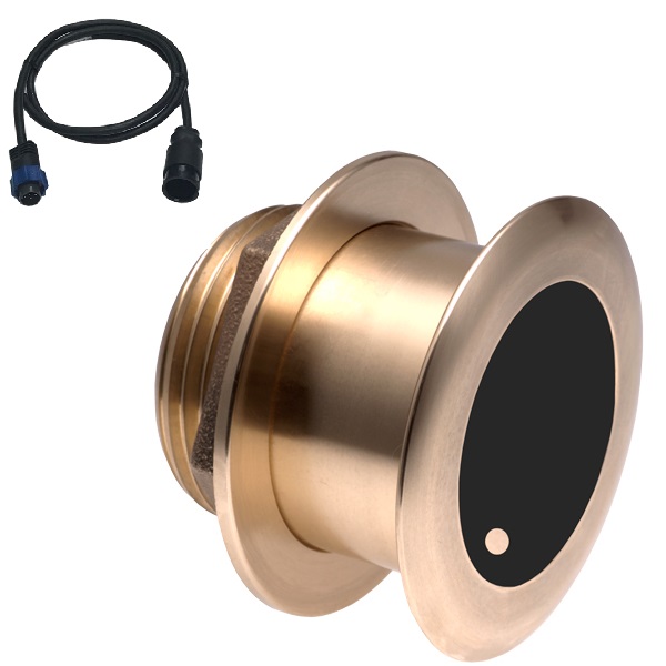
Airmar B175C-0-H 0d Tilt With Navico 7-Pin MM Cable
SKU:
WT-AIRB175C0HBL
Original price was: $1,441.89.$1,299.00Current price is: $1,299.00.
Airmar B175C-0-H 0d Tilt With No Connector MM Cable
SKU:
WT-AIRB175C0H0
Original price was: $1,441.89.$1,299.00Current price is: $1,299.00.