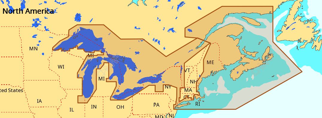
C-MAP NA-M026 Max Wide C Card Great Lakes, Northeast and Approaches
$309.69 Original price was: $309.69.$279.00Current price is: $279.00.
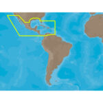
C-MAP NA-M027 Max Wide C Card Central America and Caribbean
$309.69 Original price was: $309.69.$279.00Current price is: $279.00.
Fast delivery within 72 Hours
C-MAP NA-M026 Max Wide microSD Great Lakes, Northeast and Approaches
$323.01 Original price was: $323.01.$291.00Current price is: $291.00.
Out of stock
SKU:
WT-CMAMNAM026MS
Category: C-MAP Max
Brands:
C-Map
“C-MAP NA-M026 M-NA-M026-MS microSD chart provides extensive coverage of Great Lakes, Northeast and Approaches with updated detail, compatible with top chartplotters, and featuring dynamic NavAids, tides, and outboard lower unit information for safe navigation.”
Description
C-MAP NA-M026 Max Wide microSD
Model: M-NA-M026-MS
- Updated twice annually to provide all the latest detail and information
- Compatible with dozens of chartplotters from top manufacturers
- Extensive coverage of coastal waters, lakes and rivers
C-MAP MAX electronic charts have been a worldwide standard for years, providing cruisers, sailors and fishermen with the accurate, up-to-date chart data they need to enjoy each day on the water. Still a leading choice of navigators and chartplotter manufacturers around the globe.
Specifications
| Dynamic NavAids | Yes |
| Dynamic tides | Yes |
| Gaurdian alarm | Yes |
| Detailed marina port plans | Yes |
| Photos and diagrams | Yes |
| Route-check | Yes |
| Depths and land elevation | Yes |
| Detailed harbor | Yes |
| Perspective view | Yes |
| C-Marina Port Database | Yes |
| Points of interest | Yes |
| Multi-language capability | Yes |
Additional information
| Weight | 0.1 lbs |
|---|---|
| Google Part Number |
M-NA-M026-MS |
| Google Product Category |
3391 |
Related Products
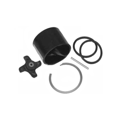
Airmar 33-493-01 Paddle Wheel Spares Kit For S800 ST800
SKU:
WT-AIR3349301
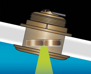
Airmar B164 1KW Bronze TH 20D Tilted Element 10P Furuno
SKU:
WT-AIRB1642010F
Airmar B164 1KW Bronze TH 20D Tilted Element Raymarine
SKU:
WT-AIRB16420RAY
Airmar B175C-0-H 0d Tilt w/ Humminbird 14-Pin MM Cabl
SKU:
WT-AIRB175C0H14HB
Airmar B175C-0-H 0d Tilt With Garmin 12-Pin MM Cable
SKU:
WT-AIRB175C0H12G
Airmar B175C-0-H 0d Tilt With No Connector MM Cable
SKU:
WT-AIRB175C0H0
Airmar B175C-0-M 0d Tilt With No Connector MM Cable
SKU:
WT-AIRB175C0M0


