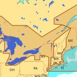
C-MAP NA-M026 Max Wide microSD Great Lakes, Northeast and Approaches
$323.01 Original price was: $323.01.$291.00Current price is: $291.00.
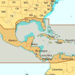
C-MAP NA-M027 Max Wide microSD Central America and Caribbean
$323.01 Original price was: $323.01.$291.00Current price is: $291.00.
Fast delivery within 72 Hours
C-MAP NA-M027 Max Wide C Card Central America and Caribbean
$309.69 Original price was: $309.69.$279.00Current price is: $279.00.
Out of stock
SKU:
WT-CMAMNAM027CC
Category: C-MAP Max
Experience precise navigation with the C-MAP NA-M027 M-NA-M027-CC electronic charts, featuring twice-annual updates, compatibility with top manufacturers, and extensive coverage of coastal waters, lakes, and rivers, perfect for your outboard lower unit adventures.
Description
C-MAP NA-M027 Max Wide C Card Central America and Caribbean
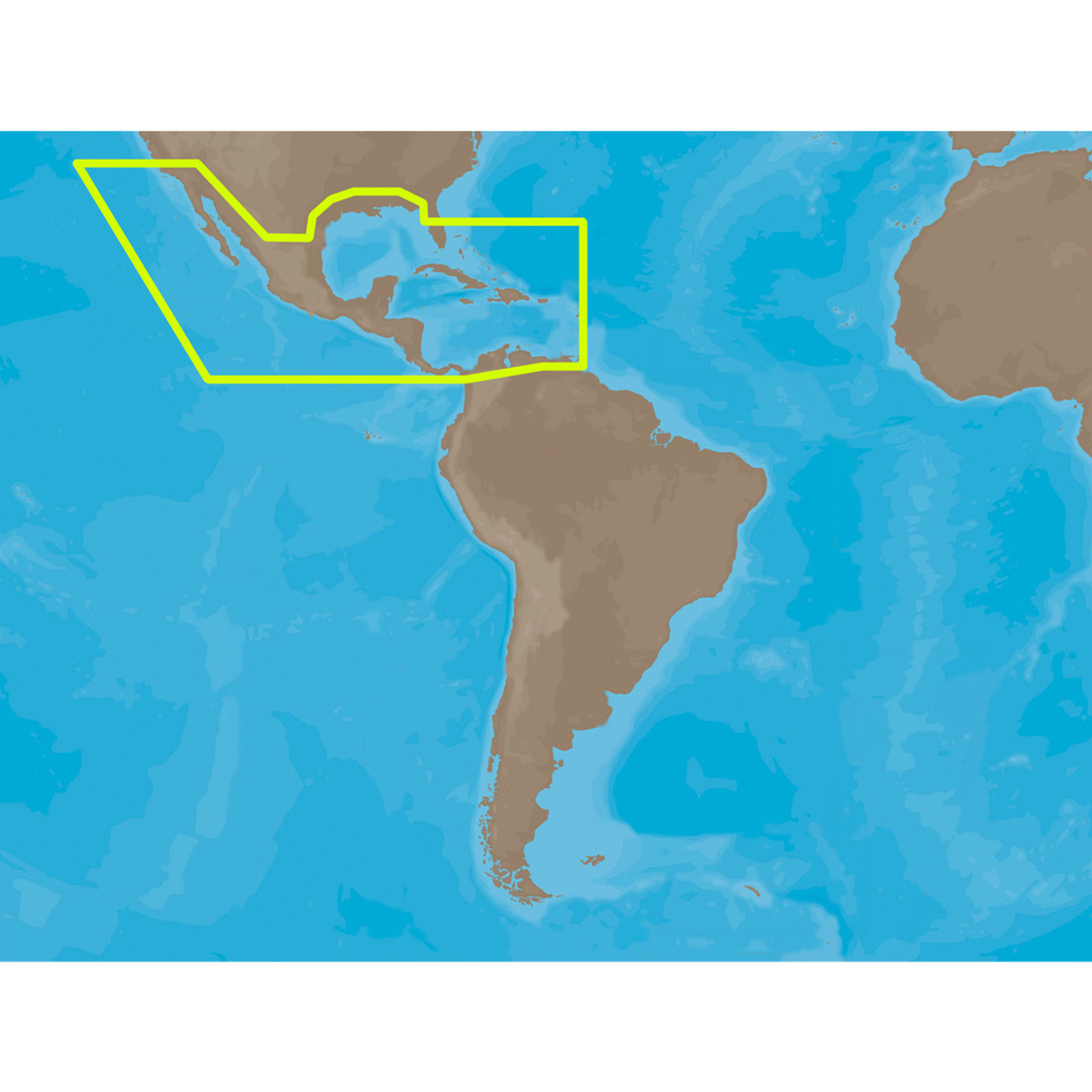
The C-MAP NA-M027 Max Wide C Card Central America and Caribbean is a highly detailed and accurate electronic chart that provides wide coverage of the Caribbean and Central America. This chart features C-MAP’s MAX technology, which provides a wealth of information and navigation tools to help you navigate the waters with confidence. The NA-M027 C Card provides coverage of the Caribbean Sea, the Gulf of Mexico, and the Atlantic Ocean, including the eastern coast of the United States from Florida to North Carolina, as well as the Bahamas, the Turks and Caicos Islands, and the Dominican Republic.
The C-MAP NA-M027 Max Wide C Card Central America and Caribbean is an ideal choice for sailors, fishermen, and cruisers who require a high level of detail and accuracy for safe and efficient navigation. With its extensive coverage and advanced features, this chart is perfect for those who want to explore the beautiful waters of the Caribbean and Central America. The C-MAP NA-M027 Max Wide C Card Central America and Caribbean is compatible with a wide range of chart plotters and multifunction displays from leading manufacturers.
With the C-MAP NA-M027 Max Wide C Card Central America and Caribbean, you’ll have access to a vast array of navigation data, including buoys, beacons, and lights, as well as detailed information on ports, harbors, and marinas. Additionally, this chart features C-MAP’s Dynamic Navigation Charts, which provide a clear and intuitive display of navigation data, making it easier to navigate even the most complex waterways.
Why pick the C-MAP NA-M027 Max Wide C Card Central America and Caribbean:
- Highly detailed and accurate electronic chart with wide coverage of the Caribbean and Central America
- Ideal for sailors, fishermen, and cruisers who require a high level of detail and accuracy for safe and efficient navigation
- Compatible with a wide range of chart plotters and multifunction displays from leading manufacturers
Where to use it:
The C-MAP NA-M027 Max Wide C Card Central America and Caribbean is perfect for navigating the waters of the Caribbean Sea, the Gulf of Mexico, and the Atlantic Ocean, including the eastern coast of the United States from Florida to North Carolina, as well as the Bahamas, the Turks and Caicos Islands, and the Dominican Republic.
Tips for maintenance:
- Regularly update your chart to ensure you have the latest navigation data
- Store your C-MAP NA-M027 Max Wide C Card Central America and Caribbean in a safe and dry place
- Follow the manufacturer’s instructions for installing and using your chart
In conclusion, the C-MAP NA-M027 Max Wide C Card Central America and Caribbean is an essential tool for anyone who wants to navigate the waters of the Caribbean and Central America with confidence and precision. With its advanced features and highly detailed data, this chart is the perfect choice for sailors, fishermen, and cruisers alike.
Additional information
| Weight | 0.1 lbs |
|---|
Related Products
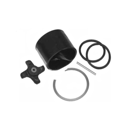
Airmar 33-493-01 Paddle Wheel Spares Kit For S800 ST800
SKU:
WT-AIR3349301
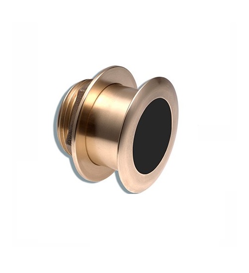
Airmar B164 1KW Bronze TH 0 Deg Tilt 8 Pin Garmin
SKU:
WT-AIRB16408G
Airmar B164 1KW Bronze TH 20D Tilted Element 10P Furuno
SKU:
WT-AIRB1642010F
Airmar B175C-0-H 0d Tilt High CHIRP With MM Connector
SKU:
WT-AIRB175C0HMM
Airmar B175C-0-H 0d Tilt With Humminbird 7-Pin MM Cabl
SKU:
WT-AIRB175C0HHB
Airmar B175C-0-H 0d Tilt With Navico 7-Pin MM Cable
SKU:
WT-AIRB175C0HBL
Airmar B175C-0-M 0d Tilt With No Connector MM Cable
SKU:
WT-AIRB175C0M0


