C-MAP NA-M033 Max MegaWide microSD Atlantic Coast, Gulf o Mexico and Caribbean
$391.83 Original price was: $391.83.$353.00Current price is: $353.00.
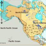
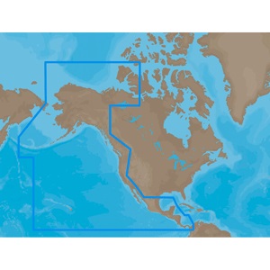
C-MAP NA-M035 Max MegaWide microSD Pacific Coast and Central America
$391.83 Original price was: $391.83.$353.00Current price is: $353.00.
Fast delivery within 72 Hours
C-MAP NA-M035 Max MegaWide C Card Pacific Coast and Central America
$376.29 Original price was: $376.29.$339.00Current price is: $339.00.
Out of stock
SKU:
WT-CMAMNAM035CC
Category: C-MAP Max
Explore the C-MAP NA-M035 M-NA-M035-CC, a Max MegaWide C Card covering Pacific Coast and Central America. Get accurate chart data, compatible with top chartplotters, for a safe and enjoyable boating experience. Perfect for cruisers, sailors, and fishermen with outboard lower unit.
Description
C-MAP NA-M035 Max MegaWide C Card Pacific Coast and Central America
The C-MAP NA-M035 Max MegaWide C Card Pacific Coast and Central America is a chart card that provides detailed marine charts for the Pacific Coast and Central America. This chart card offers unparalleled navigation and flexibility with its massive coverage area, which includes the entire Pacific Coast from Puget Sound to the Panama Canal, as well as Central America, including Mexico, Belize, Guatemala, Honduras, El Salvador, and Nicaragua. The C-MAP NA-M035 Max MegaWide C Card Pacific Coast and Central America is designed for use with a range of GPS chart plotters and multifunction displays, providing boaters and fishermen with accurate and reliable navigation data.
The C-MAP NA-M035 Max MegaWide C Card Pacific Coast and Central America features a massive coverage area, including the entire Pacific Coast from Puget Sound to the Panama Canal, as well as Central America, including Mexico, Belize, Guatemala, Honduras, El Salvador, and Nicaragua. This chart card provides detailed marine charts, including coastal and offshore coverage, as well as freshwater lakes and rivers. The C-MAP NA-M035 Max MegaWide C Card Pacific Coast and Central America is perfect for boaters, fishermen, and sailors who need accurate and reliable navigation data.
In addition to its massive coverage area, the C-MAP NA-M035 Max MegaWide C Card Pacific Coast and Central America also features advanced chart data, including detailed harbor charts, marina information, and navigation alerts. This chart card is compatible with a range of GPS chart plotters and multifunction displays, making it easy to plan and navigate your next adventure.
Why pick the C-MAP NA-M035 Max MegaWide C Card Pacific Coast and Central America
The C-MAP NA-M035 Max MegaWide C Card Pacific Coast and Central America offers several unique benefits, including:
- Massive coverage area, including the entire Pacific Coast and Central America
- Detailed marine charts, including coastal and offshore coverage, as well as freshwater lakes and rivers
- Advanced chart data, including detailed harbor charts, marina information, and navigation alerts
- Compatibility with a range of GPS chart plotters and multifunction displays
Where to use it
The C-MAP NA-M035 Max MegaWide C Card Pacific Coast and Central America is perfect for:
- Boaters and fishermen who need accurate and reliable navigation data for the Pacific Coast and Central America
- Sailors who need detailed marine charts and navigation alerts for safe and efficient passage
- Recreational users who want to explore the Pacific Coast and Central America’s lakes, rivers, and coastal areas
Tips for maintenance
To ensure optimal performance and longevity of your C-MAP NA-M035 Max MegaWide C Card Pacific Coast and Central America, follow these tips:
- Regularly update your chart card to ensure you have the latest chart data and features
- Handle your chart card with care to avoid damage or corruption
- Store your chart card in a safe and secure location when not in use
By following these guidelines, the C-MAP NA-M035 Max MegaWide C Card Pacific Coast and Central America is sure to provide you with years of reliable and accurate navigation data.
Additional information
| Weight | 0.1 lbs |
|---|
Related Products
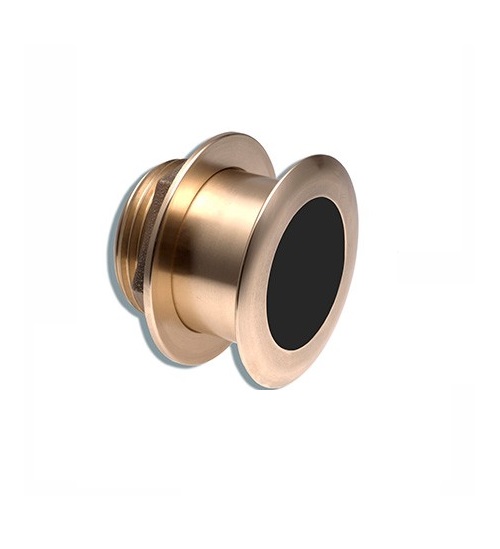
Airmar B164 1KW Bronze TH 0 Deg Tilt 8 Pin Garmin
SKU:
WT-AIRB16408G
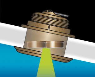
Airmar B164 1KW Bronze TH 20 Deg Tilt 8 Pin Garmin
SKU:
WT-AIRB164208G
Airmar B164 1KW Bronze TH 20D Tilted Element 10P Furuno
SKU:
WT-AIRB1642010F
Airmar B164 1KW Bronze TH 20D Tilted Element Lowrance
SKU:
WT-AIRB16420BL
Airmar B164 1KW Bronze TH 20D Tilted Element Raymarine
SKU:
WT-AIRB16420RAY
Airmar B175C-0-H 0d Tilt High CHIRP With MM Connector
SKU:
WT-AIRB175C0HMM
Airmar B175C-0-H 0d Tilt With Garmin 12-Pin MM Cable
SKU:
WT-AIRB175C0H12G
Airmar B175C-0-M 0d Tilt With No Connector MM Cable
SKU:
WT-AIRB175C0M0


