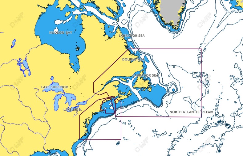
C-MAP NA-M325 Max Wide C-Card Gulf of Maine Bathymetric
$309.69 Original price was: $309.69.$279.00Current price is: $279.00.

C-MAP NA-M420 Max Wide C-Card Gulf of Mexico Bathymetric
$309.69 Original price was: $309.69.$279.00Current price is: $279.00.
Fast delivery within 72 Hours
C-MAP NA-M325 Max Wide microSD Gulf of Maine Bathymetric
$309.69 Original price was: $309.69.$279.00Current price is: $279.00.
Out of stock
SKU:
WT-CMAMNAM325MS
Category: C-MAP Max
“C-MAP NA-M325.43 MicroSD Gulf of Maine Bathymetric Charts provide detailed navigation data for your outboard lower unit, including dynamic NavAids, tides, currents, and harbor charts, ensuring safe and enjoyable boating experiences.”
Description
C-MAP NA-M325 Max Wide microSD Gulf of Maine Bathymetric
The C-MAP NA-M325 Max Wide microSD Gulf of Maine Bathymetric is a high-performance chart card that provides detailed bathymetric charts for the Gulf of Maine. This chart card is designed for use with Chart Plotters and Multifunction Displays, and it features C-MAP’s patented Max Wide technology, which provides a wider range of chart coverage and higher levels of detail than other chart cards on the market.
The C-MAP NA-M325 Max Wide microSD Gulf of Maine Bathymetric is perfect for boaters, fishermen, and sailors who need accurate and detailed charts to navigate the waters of the Gulf of Maine. With its high-resolution bathymetric data, this chart card provides a clear picture of the seafloor, allowing users to identify hidden dangers such as rocks, reefs, and shipwrecks.
In addition to its detailed bathymetric charts, the C-MAP NA-M325 Max Wide microSD Gulf of Maine Bathymetric also features advanced navigation features, including dynamic tides and currents, detailed harbor charts, and a comprehensive points-of-interest database. Whether you’re a seasoned sailor or a beginner, this chart card has everything you need to navigate the Gulf of Maine with confidence.
The C-MAP NA-M325 Max Wide microSD Gulf of Maine Bathymetric is designed to be easy to use and install, and it is compatible with a wide range of Chart Plotters and Multifunction Displays. With its compact microSD format, this chart card is easy to store and transport, making it the perfect accessory for any boater or sailor.
Why pick the C-MAP NA-M325 Max Wide microSD Gulf of Maine Bathymetric:
- Get detailed bathymetric charts for the Gulf of Maine, perfect for boaters, fishermen, and sailors.
- Enjoy advanced navigation features, including dynamic tides and currents, detailed harbor charts, and a comprehensive points-of-interest database.
- Experience easy installation and use, with compatibility with a wide range of Chart Plotters and Multifunction Displays.
- Benefit from C-MAP’s patented Max Wide technology, which provides a wider range of chart coverage and higher levels of detail than other chart cards on the market.
Where to use it:
The C-MAP NA-M325 Max Wide microSD Gulf of Maine Bathymetric is perfect for use in the Gulf of Maine, including coastal areas, bays, and harbors. It’s also ideal for use in freshwater lakes and rivers, and for offshore fishing and sailing.
Tips for maintenance:
- Regularly update your chart card to ensure you have the latest charts and data.
- Store your chart card in a safe and dry place to prevent damage.
- Use a soft cloth to clean your chart card and avoid scratching the surface.
- Consult the user manual for troubleshooting and maintenance tips.
Additional information
| Weight | 0.176 lbs |
|---|
Related Products
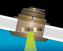
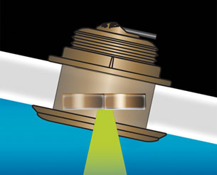
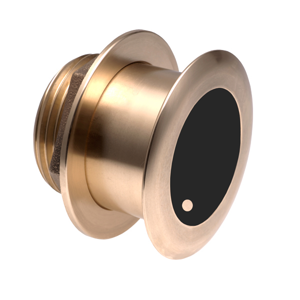
Airmar B164 1KW Bronze TH 20D Tilted Element 10P Furuno
SKU:
WT-AIRB1642010F
Airmar B164 1KW Bronze TH 20D Tilted Element Raymarine
SKU:
WT-AIRB16420RAY
Airmar B175C-0-H 0d Tilt High CHIRP With MM Connector
SKU:
WT-AIRB175C0HMM
Airmar B175C-0-H 0d Tilt w/ Humminbird 14-Pin MM Cabl
SKU:
WT-AIRB175C0H14HB
Airmar B175C-0-H 0d Tilt With Garmin 12-Pin MM Cable
SKU:
WT-AIRB175C0H12G
Airmar B175C-0-H 0d Tilt With Garmin 8-Pin MM Cable
SKU:
WT-AIRB175C0H8G
Airmar B175C-0-H 0d Tilt With Humminbird 7-Pin MM Cabl
SKU:
WT-AIRB175C0HHB


