C-MAP NA-M320 Max Wide SD Card Bathymetrics Me - Nc
$309.69 Original price was: $309.69.$279.00Current price is: $279.00.
C-MAP SA-M501 Max Wide SD Gulf Of Paria - Cape Horn
$330.34 Original price was: $330.34.$297.60Current price is: $297.60.
Fast delivery within 72 Hours
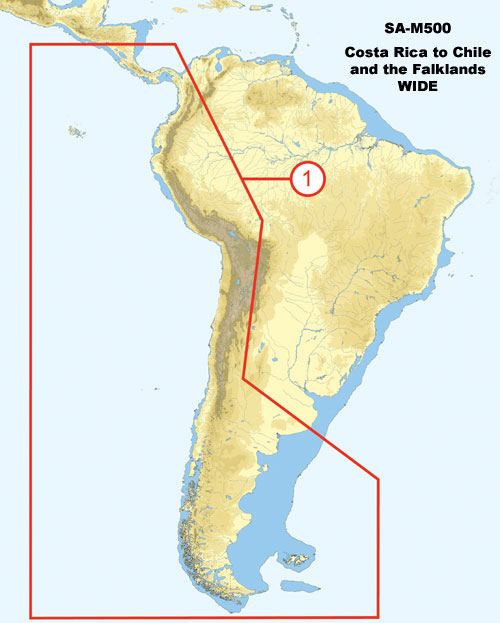
C-MAP SA-M500 Max Wide C Card Costa Rica – Chile – Falklands
$309.69 Original price was: $309.69.$279.00Current price is: $279.00.
Out of stock
SKU:
WT-CMASAM500CCARD
Category: C-MAP Max
Brands:
C-Map
“C-MAP SA-M500 C Card Navigation charts provide detailed marine mapping for Costa Rica, Chile, and Falkland Islands. Compatible with outboard lower unit, this C Card offers accurate GPS chart plotting for safe and efficient boating.”
Description
C-MAP SA-M500 Max Wide C Card Costa Rica – Chile – Falklands
The C-MAP SA-M500 Max Wide C Card Costa Rica – Chile – Falklands is a high-performance navigation solution designed for marine enthusiasts and professionals. This advanced chart card provides detailed mapping of the coastal waters of Costa Rica, Chile, and the Falkland Islands, ensuring safe and efficient navigation. The C-MAP SA-M500 Max Wide C Card Costa Rica – Chile – Falklands features accurate and up-to-date cartography, including buoy data, sea floor contours, and port plans.
With the C-MAP SA-M500 Max Wide C Card Costa Rica – Chile – Falklands, you can explore the scenic coastline of Costa Rica, navigate the challenging waters of Chile, or discover the hidden coves of the Falkland Islands. This comprehensive chart card provides unparalleled coverage of the region, ensuring that you have the tools you need to navigate with confidence. The C-MAP SA-M500 Max Wide C Card Costa Rica – Chile – Falklands is compatible with a range of chart plotters and multifunction displays, making it easy to integrate into your existing navigation system.
Why pick the C-MAP SA-M500 Max Wide C Card Costa Rica – Chile – Falklands:
- Accurate and up-to-date cartography ensures safe and efficient navigation
- Comprehensive coverage of Costa Rica, Chile, and the Falkland Islands
- Compatible with a range of chart plotters and multifunction displays
Where to use it:
The C-MAP SA-M500 Max Wide C Card Costa Rica – Chile – Falklands is ideal for a range of applications, including:
- Recreational boating and sailing
- Commercial fishing and shipping
- Cruise and tour operations
Tips for maintenance:
To ensure optimal performance and longevity of your C-MAP SA-M500 Max Wide C Card Costa Rica – Chile – Falklands, follow these simple maintenance tips:
- Regularly update your chart card to ensure access to the latest cartography and features
- Handle the chart card with care to avoid damage or corruption
- Store the chart card in a secure, dry location when not in use
The C-MAP SA-M500 Max Wide C Card Costa Rica – Chile – Falklands is an essential tool for anyone navigating the waters of Costa Rica, Chile, and the Falkland Islands. With its accurate and up-to-date cartography, comprehensive coverage, and compatibility with a range of devices, this chart card is the perfect choice for marine enthusiasts and professionals alike. The C-MAP SA-M500 Max Wide C Card Costa Rica – Chile – Falklands provides unparalleled navigation and exploration capabilities, making it an essential investment for your next adventure.
Additional information
| Weight | 0.1 lbs |
|---|---|
| Google Part Number |
SA-M500 C CARD |
| Google Product Category |
3391 |
Related Products
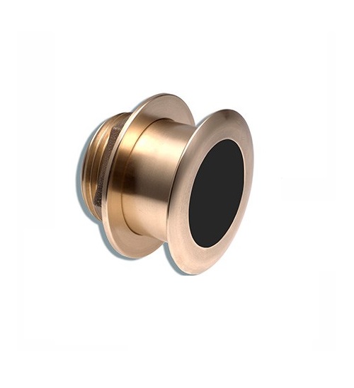
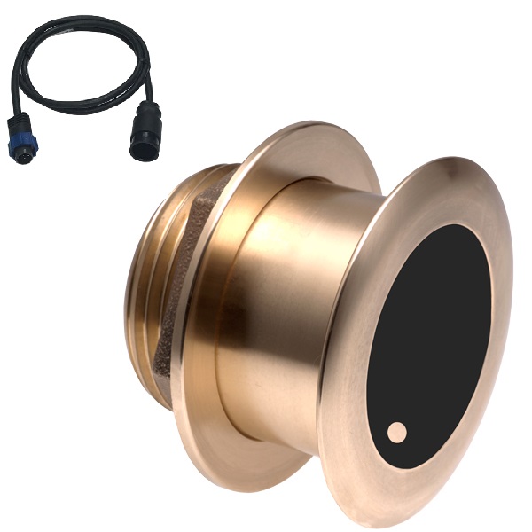
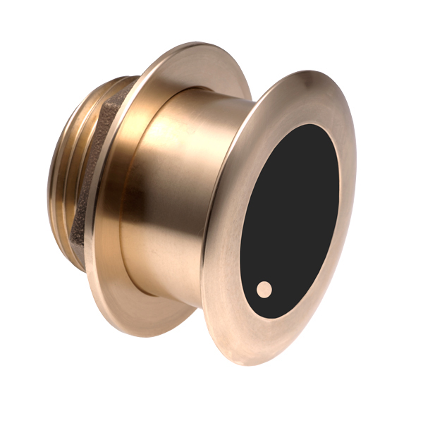
Airmar B164 1KW Bronze TH 0 Deg Tilt 8 Pin Garmin
SKU:
WT-AIRB16408G
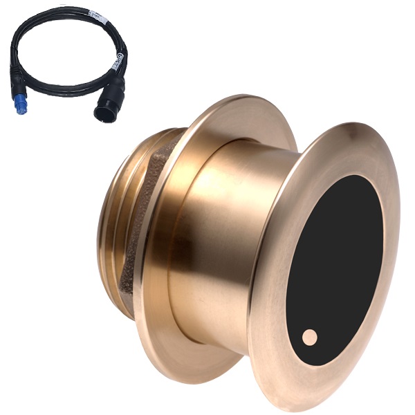
Airmar B175C-0-H 0d Tilt With Garmin 8-Pin MM Cable
SKU:
WT-AIRB175C0H8G
Airmar B175C-0-H 0d Tilt With Humminbird 7-Pin MM Cabl
SKU:
WT-AIRB175C0HHB
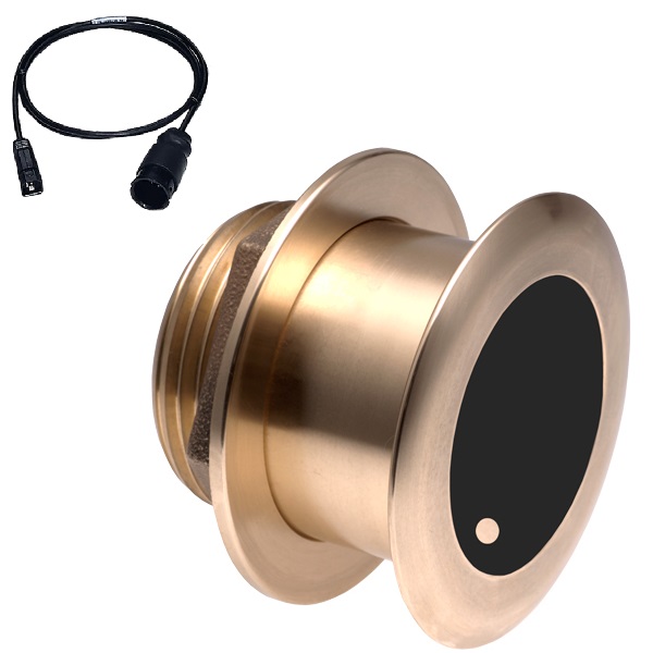
Airmar B175C-0-H 0d Tilt With Navico 7-Pin MM Cable
SKU:
WT-AIRB175C0HBL
Airmar B175C-0-H 0d Tilt With No Connector MM Cable
SKU:
WT-AIRB175C0H0


