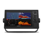
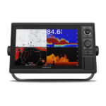
Garmin GPSMAP® 1222 12-inch Chartplotter Is All-in-1 Solution
Model: 010-01741-00
UPC: 753759168339
- 12-inch color display with keypad interface and multifunction control knob
- High-sensitivity internal 10 Hz GPS and GLONASS receiver
- Fully network capable for Garmin Marine Network and NMEA 2000® plus NMEA 0183 support
- Supports optional BlueChart® g2 Vision® HD charts for Auto Guidance and other premium navigation features
GPSMAP 1222 is designed for cruisers, sailors and sailing racers who need the advanced all-in-1 solution provided by our 10-inch keyed chartplotter. Features a large, bright screen coupled with a quick and easy-to-use keypad interface with user-programmable keys and a multifunction control knob.
Garmin Marine Network support allows sharing of sonar, maps, user data, dome or open-array radar, IP cameras and Panoptix™ sonar among multiple units. Includes NMEA 2000 network connectivity and NMEA 0183 support for autopilots, digital switching, weather, FUSION-Link, VHF, AIS and other sensors.
Enjoy built-in Wi-Fi connectivity for BlueChart Mobile 2.0 and Garmin Helm apps. Garmin Helm allows you to view and control your compatible chartplotter from a compatible smartphone or tablet while providing enhanced situational awareness for the mariner. With BlueChart Mobile, a free app downloaded from the App Store™, you can get reliable weather information while you plan marine routes on your iPad® or iPhone® then wirelessly transfer them to your boat’s compatible networked Garmin chartplotter. You can even stream and control a VIRB action camera from the chartplotter.
Enjoy built-in ANT wireless connectivity directly to quatix® marine watch, Garmin Nautix™ in-view display, gWind™ Wireless 2 transducer, GNX™ Wind marine instrument and wireless remote controls.
Fast, responsive built-in 10 Hz GPS and GLONASS receiver refreshes your position and heading 10 times each second to make your movement on the screen more fluid. It makes dropping up to 5,000 accurate waypoints — and finding your way back to them — quick and easy.
Two SD™ card slots provide expandable memory for accessory map purchases, such as LakeVü HD, LakeVü HD Ultra, BlueChart® g2 HD or BlueChart® g2 Vision® HD, which adds Garmin patented Auto Guidance and other great features.
To help you gain a wind-maximizing competitive edge, your chartplotter features a pre-race guidance page that shows your virtual starting line along with data fields showing laylines, time to burn before the start and a race timer that can be synchronized across all your networked Garmin GPS products. In addition, other supported sailing features include an enhanced wind rose, heading and course-over-ground lines, set and drift, true and apparent wind data and more.
If you have waypoints, tracks or frequently used routes stored on another manufacturer’s GPS product — or on a Garmin handheld device — it’s easy to transfer those items to your new Garmin chartplotter via industry-standard GPX software formatting.
1Auto Guidance is for planning purposes only and does not replace safe navigation operations.
Specifications
| Performance and Physical |
| Dimensions | 14.1″ x 8.9″ x 2.7″ (35.8 x 22.6 x 6.9 cm) |
| Display size | 10.3″ x 6.4″ (26.2 x 16.3 cm) |
| Display resolution | 1280 x 800 |
| Display type | WXGA display |
| Weight | 5.2 lbs |
| Water rating | IPX7 |
| Antenna | Internal or external over NMEA 2000 |
| NMEA 2000® compatible | Yes |
| NMEA 0183 compatible | Yes |
| SiriusXM™ Weather & Radio compatible | Yes |
| Power consumption | Max power usage at 10 Vdc: 34.8 W
Typical current draw at 12 Vdc: 2.2 A
Max current draw at 12 Vdc: 2.9 A |
| Mounting options | Bail or flush |
| Maps and Memory |
| Preloaded maps | None |
| Accepts data card | 2 SD™ cards |
| Waypoints | 5,000 |
| Routes | 100 |
| Track log | 50,000 points; 50 saved tracks |
| Outdoor Recreation Features |
| Tide tables | Yes |
| Chartplotter Features |
| Garmin Radar compatible | Yes |
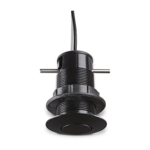
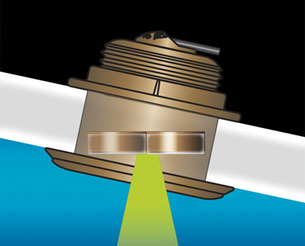
| Garmin Sonar compatible | Yes (with external black box, sold separately) |
| Garmin SmartMode compatible (customizable monitor presets) | Yes |
| Supports AIS (tracks target ships position) | Yes |
| Supports DSC (displays position data from DSC-capable VHF radio) | Yes |
| Garmin Meteor™ Audio System compatible | Yes |
| Supports FUSION-Link™ compatible radios | Yes |
| GSD™ Black Box sonar support | Yes |
| GCV™ Black Box sonar support | Yes |
| ActiveCaptain compatible | Yes |
| Garmin Helm compatible | Yes |
| GRID™ (Garmin Remote Input Device) compatible | Yes |
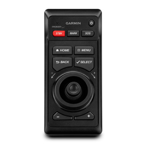
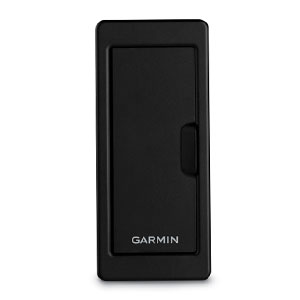
| Wireless remote compatible | Yes |
| Sonar Features & Specifications |
| CHIRP sonar technology | Yes (with external black box, sold separately) |
| ClearVü | Yes (with external black box, sold separately) |
| SideVü | Yes (with external black box, sold separately) |
| Connections |
| NMEA 2000® compatible | Yes |
| NMEA 0183 input ports | 1 |
| NMEA 0183 output ports | 1 |
| Video input ports | 1 BNC |
| Video output ports | None |
| Wireless connectivity | Yes |
What’s in the Box:
- GPSMAP 1222 chartplotter
- Power/data cable
- NMEA 2000 T-connector
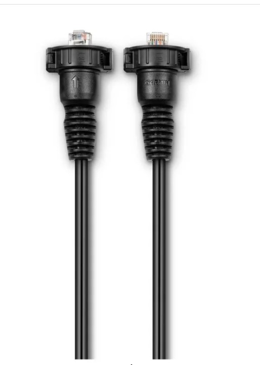
- NMEA 2000 drop cable (2 m)
- Bail mount kit with knobs
- Flush mount kit with gasket
- Protective cover
- Trim piece snap covers
- Documentation