


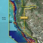
Garmin VUS037R G3 Vision Vancouver - San Diego
Original price was: $388.49.$349.99Current price is: $349.99.
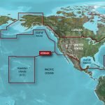
Garmin HXUS604X G3 Micro SD United States
Original price was: $244.19.$219.99Current price is: $219.99.
-10%

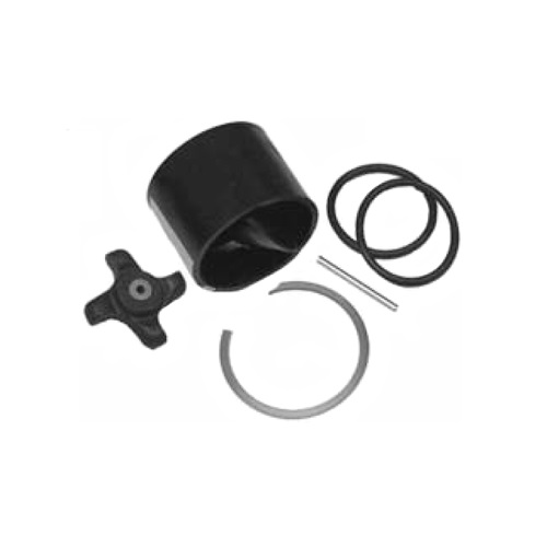
Airmar 33-493-01 Paddle Wheel Spares Kit For S800 ST800
SKU:
WT-AIR3349301
Original price was: $31.08.$28.00Current price is: $28.00.
Airmar B164 1KW Bronze TH 20D Tilted Element Lowrance
SKU:
WT-AIRB16420BL
Original price was: $1,415.25.$1,275.00Current price is: $1,275.00.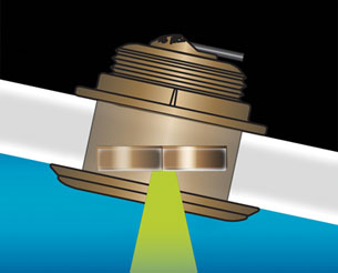
Airmar B164 1KW Bronze TH 20D Tilted Element Raymarine
SKU:
WT-AIRB16420RAY
Original price was: $1,415.25.$1,275.00Current price is: $1,275.00.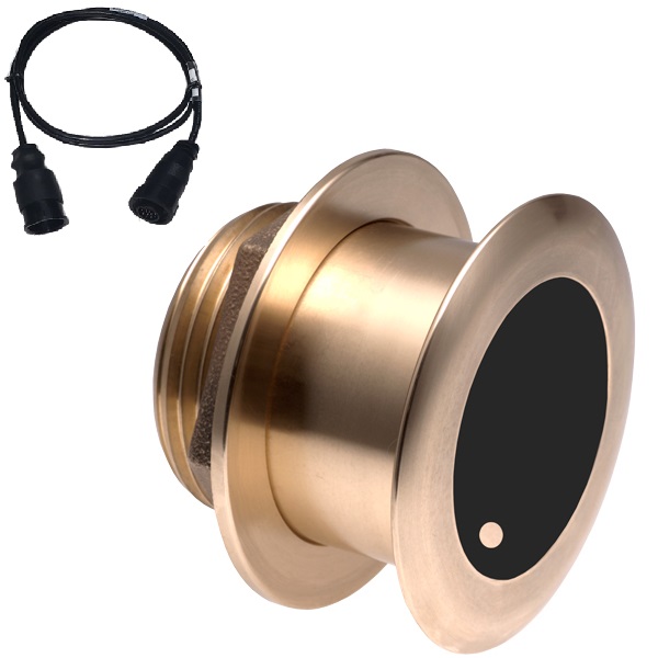
Airmar B175C-0-H 0d Tilt w/ Humminbird 14-Pin MM Cabl
SKU:
WT-AIRB175C0H14HB
Original price was: $1,441.89.$1,299.00Current price is: $1,299.00.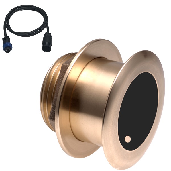
Airmar B175C-0-H 0d Tilt With Navico 7-Pin MM Cable
SKU:
WT-AIRB175C0HBL
Original price was: $1,441.89.$1,299.00Current price is: $1,299.00.
Airmar B175C-0-H 0d Tilt With Navico 9-Pin MM Cable
SKU:
WT-AIRB175C0H9N
Original price was: $1,415.25.$1,275.00Current price is: $1,275.00.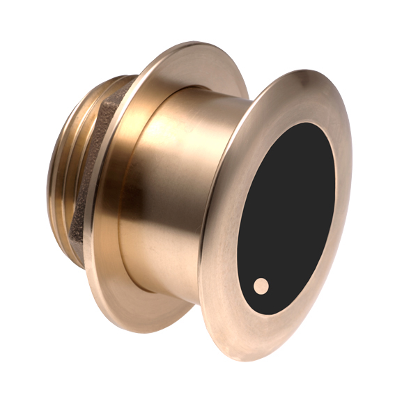
Airmar B175C-0-H 0d Tilt With No Connector MM Cable
SKU:
WT-AIRB175C0H0
Original price was: $1,441.89.$1,299.00Current price is: $1,299.00.